Taste of emotion
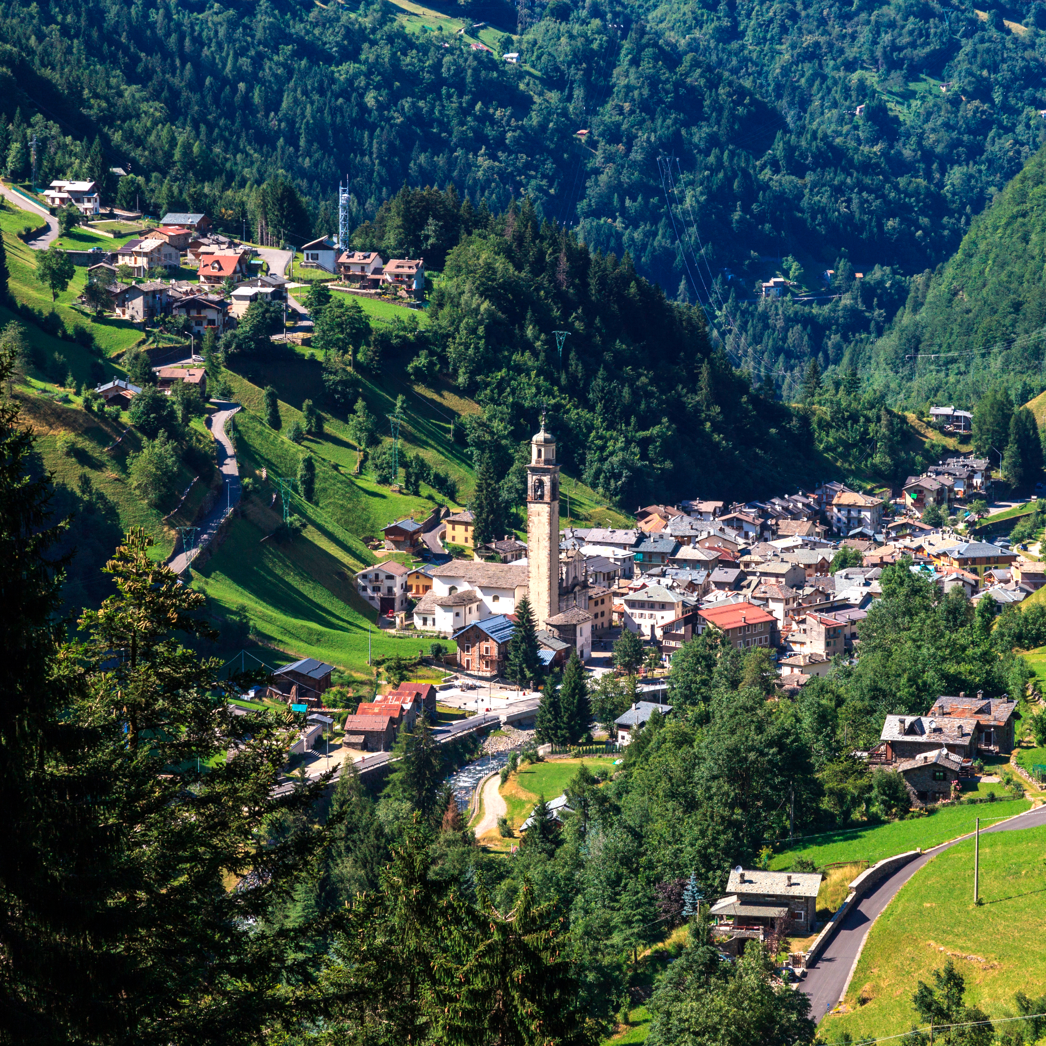
Eight extraordinary mountains right in the Alps
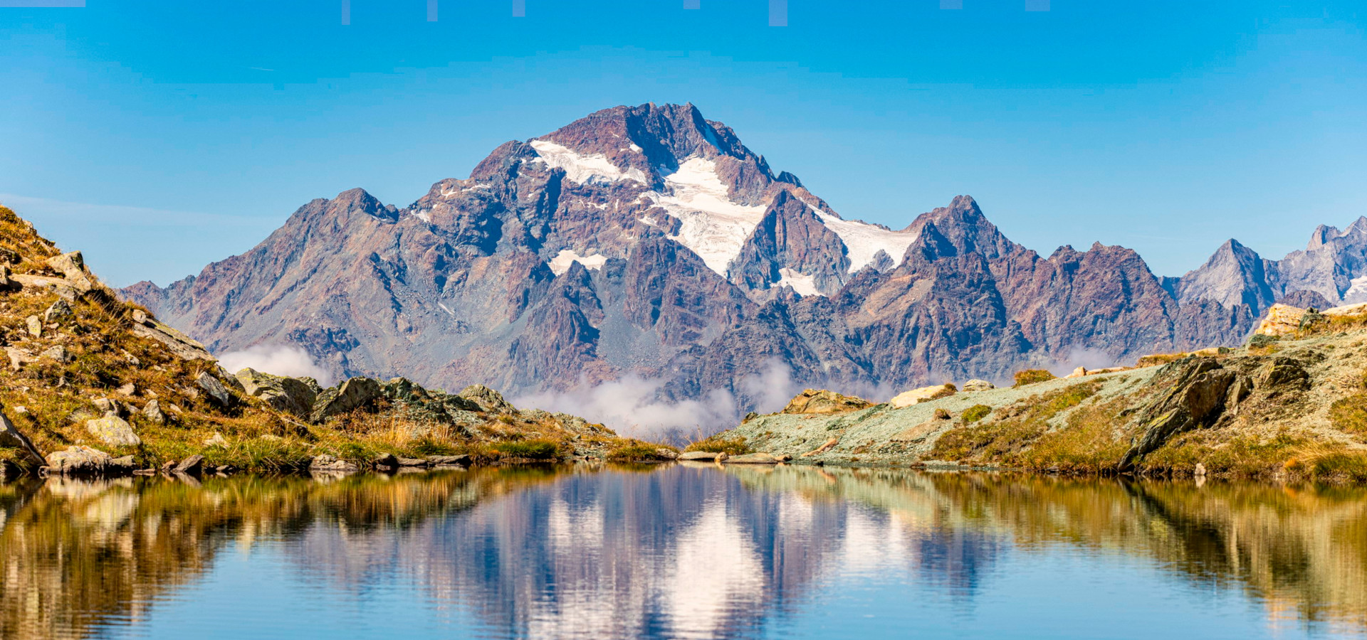
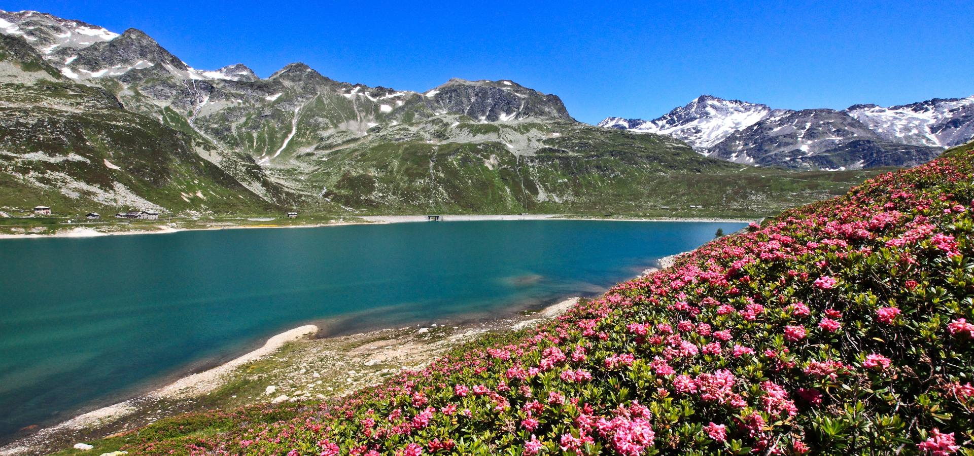
10 must see lakes in Valtellina
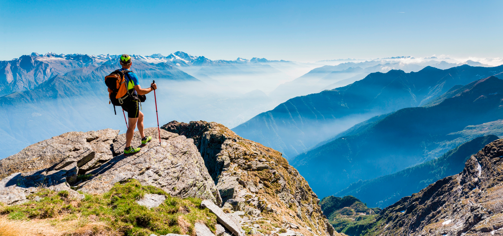
The main High Routes
Bike events calendar
Una esperienza ciclistica alpina che unisce spirito sportivo e scoperta del territorio
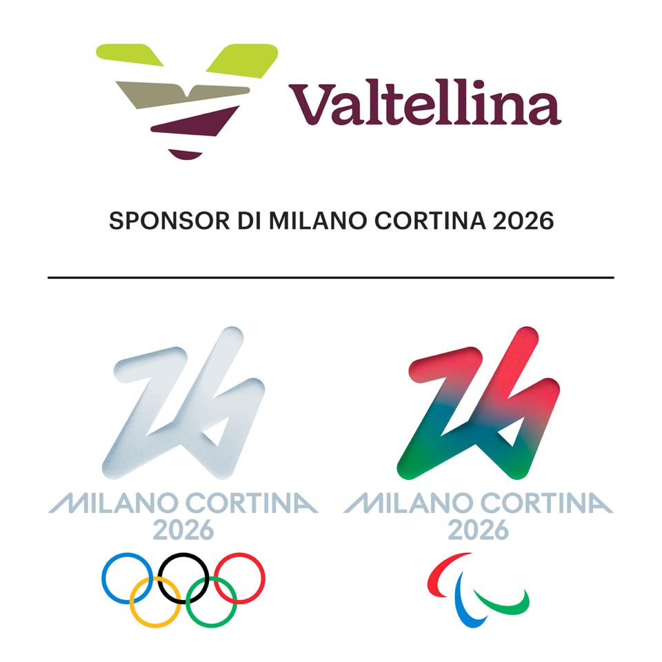
Valtellina was one of the a major player in the Winter Olympics 2026!
 .
.