placeholder DE


Sondrio Valmalenco
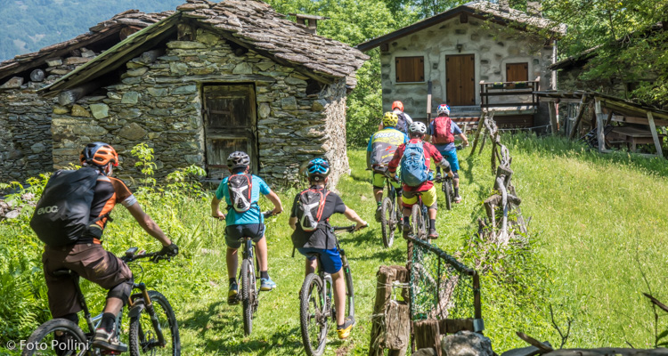
Castello dell'Acqua, Valgrande
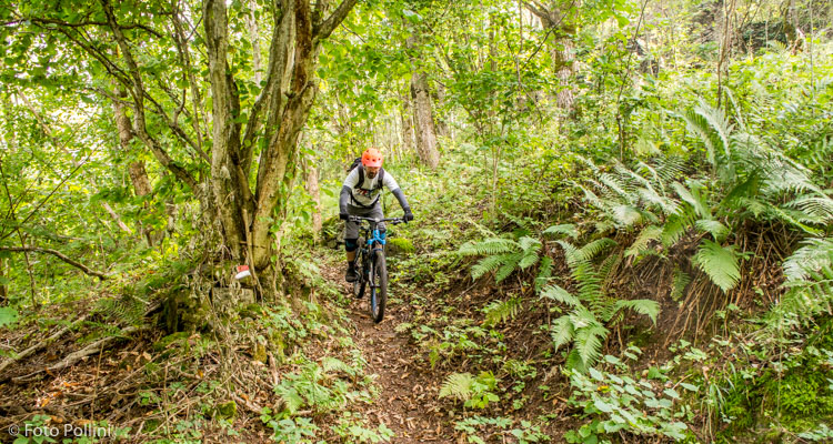
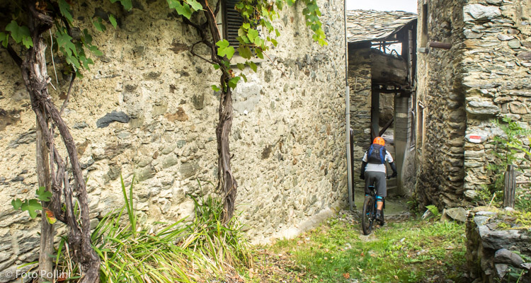
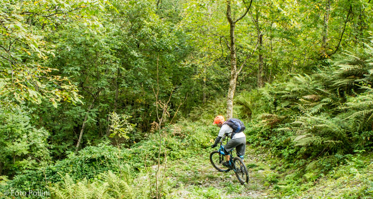
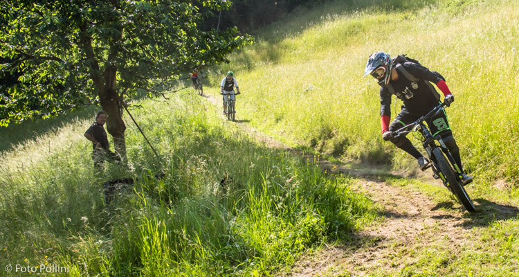
Castello-Cavallari parcheggio campo sportivo-Area Sosta Sentiero Valtellina, P Roma, Cà Gianni, Piazzola, Bivio per La Piana, Cà di Sotto, Ca' Facchi, Annunziata, Le Otte, Valle, Cà Colombini, San Giovanni, Sentiero Valtellina, Castello-Cavallari parcheggio campo sportivo-Area Sosta Sentiero Valtellina
- Ausgangsort/Rückkehrort: Castello dell'Acqua (365)
- Ankunftsort: Alpe Piazzola (1205)
- Höchster Punkt: 1205 m s.l.m.
- Höhenunterschied bergauf: 840 m
- Höhenunterschied bergab: 840 m
- Gesamtkilometer bergauf: 12 km
- Gesamtkilometer bergab: 6.3 km
- Gesamtkilometer flach: 1.3 km
- Gesamtkilometer: 19.6 km
- Laufzeit: 2 - 3 h
- Schwierigkeitsgrad: Mittel
- Durchschnittliche Steigung: 6%
- Maximale Steigung: 12%