placeholder DE


Sondrio Valmalenco
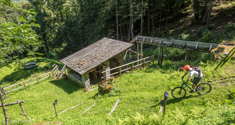
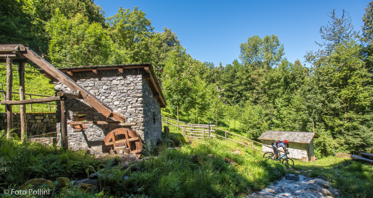
Castello dell'Acqua, Campisc
Castello-Cavallari parcheggio campo sportivo / Area Sosta Sentiero Valtellina, P Roma, Piazzola, Piazzola di Sotto, Campisc del Prat, Paiosa, Valmalgina, Cà d’Albert/La Pila-Il Mulino, Cortivo, Le Pile, La Fucina, Castello-Cavallari parcheggio campo sportivo / Area Sosta Sentiero Valtellina
- Ausgangsort/Rückkehrort: Castello dell'Acqua (365)
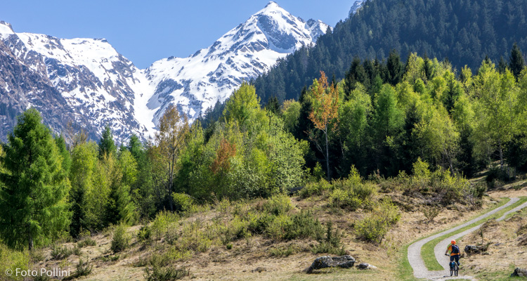
- Ankunftsort: Alpe Piazzola (1205)
- Höchster Punkt: 1205 m s.l.m.
- Höhenunterschied bergauf: 840 m
- Höhenunterschied bergab: 840 m
- Gesamtkilometer bergauf: 11.3 km
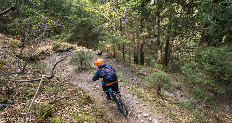
- Gesamtkilometer bergab: 6.2 km
- Gesamtkilometer flach: 1.5 km
- Gesamtkilometer: 19 km
- Laufzeit: 2 - 3 h
- Schwierigkeitsgrad: Schwer
- Durchschnittliche Steigung: 6%
- Maximale Steigung: 12%