placeholder EN


At an altitude of 1.992 m, San Marco famously featured in the insignia of the former Republic of Venezia, which built the ancient Via Priula to improve trade with territories controlled by the Grisons. The old road, which was named Priula in honour of the former governor of Bergamo Alvise Priuli, can still be seen under the new asphalted road in places.
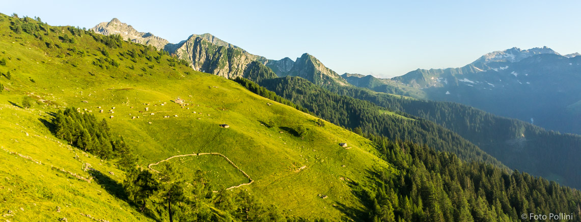
Near the pass, on the Bergamo side, is Rifugio Cà San Marco, which was built in 1593 as a guard post and is one of the oldest refuges in the Alps.
The main road over the pass from Morbegno is asphalted and has a manageable average gradient with a few steeper 10% sections.
Morbegno - crossroad to Bema - Arzo - Valle Campoerbolo - Albaredo per S. Marco - Ristorante-Bar - Bivio Rifugio Alpe Lago - S. Marco Pass
Thanks to the Enjoy Stelvio Valtellina initiative, several Alpine passes, including the San Marco Pass, are closed to motorized traffic and thus reserved for enthusiasts. For more information on the closures scheduled from June to September visit https://www.valtellina.it/en/alpine-passes-closed-to-car-traffic

Fonte: Salite.ch


