placeholder EN


Alta Valtellina
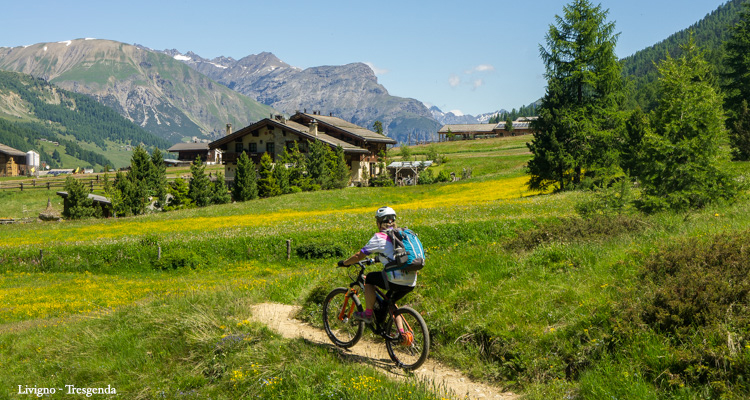
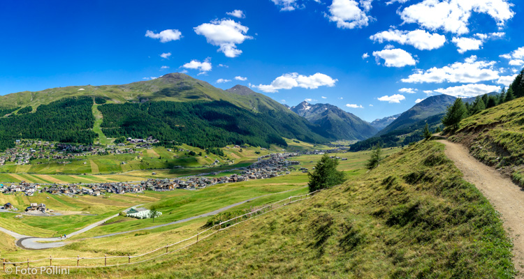
E-bike - Livigno, Giro delle Tee
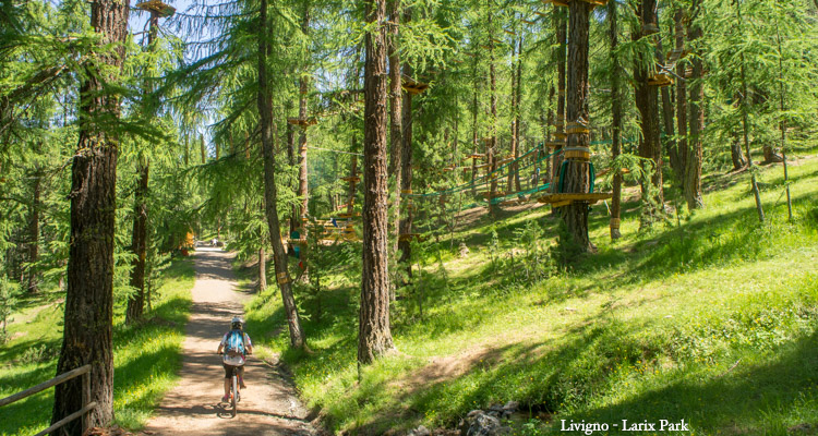
Parcheggio Pont de la Calcheira, Tea da Taglieda, Tea dal Plan, Tea da Rin, Tea dal Pel, Tea da Florin , Tea da Borch, Ponte Lungo, Tea da li Tea, Larix Park, Livigno Teola, Tea dal Brun, Ciclabile, Lago, Parcheggio Pont de la Calcheira
- Starting point: Livigno parcheggio ponte Calcheira (1846)
- Ending point: Livigno Tea dal Pel (2030)
- Max. altitude: 2130 m s.l.m.
- Ascent: 900 m
- Descent: 900 m
- Total climbing: 8 km
- Total descending: 8.3 km
- Total distance on flat: 1.5 km
- Lenght: 17.8 km
- Duration: 3 - 4 h
- Difficulty: Easy
- Average slope : 10%
- Max. slope: 15%
No map file in DB
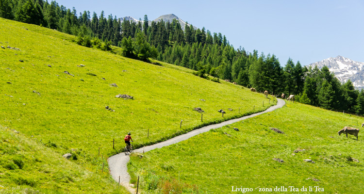
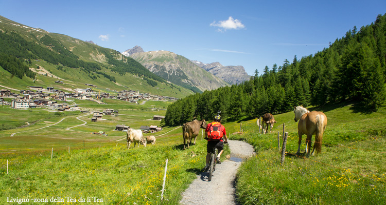
A circular route, almost all paths or rough tracks, on a “double balcony” halfway up the slope in the splendid valley of Livigno. The only difficult stretch is the initial rough track immediately on the left, before Val Federia starts at Calcheira bridge. The first half (no. 190 trail signs) heads south below the western slopes of the Blesaccia, with continual generous views north and eastwards from the artificial lake to Crap de la Parè, and Mottolino. The second part (no. 100 trail signs) heads back north, below the eastern slopes of Monte della Neve, with views of the mountains around Carosello 3000. The route alternates uphill, downhill and level stretches through woods and well-tended pastures, dotted with Tee, the characteristics mountain chalets typical of this area. This route can also be followed in the opposite direction
Testi e dati tecnici a cura di Federico Pollini