placeholder EN


Alta Valtellina
E-bike - Arnoga, Val Viola, Rifugio Viola
Arnoga in Valdidentro, Alpe Campo, Baite Altumeira, Rifugio Viola - ritorno ad Arnoga
- Starting point: Arnoga Valdidentro (1880)
- Ending point: Rifugio Viola (2314)
- Max. altitude: 2314 m s.l.m.
- Ascent: 450 m
- Descent: 450 m
- Total climbing: 8.5 km
- Total descending: 8.5 km
- Total distance on flat: 0 km
- Lenght: 17 km
- Duration: 2 - 3 h
- Difficulty: Easy
- Average slope : 5%
- Max. slope: 10%
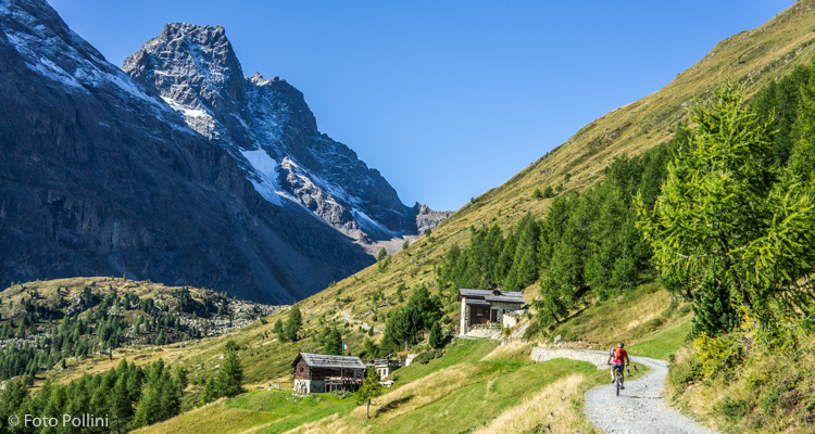
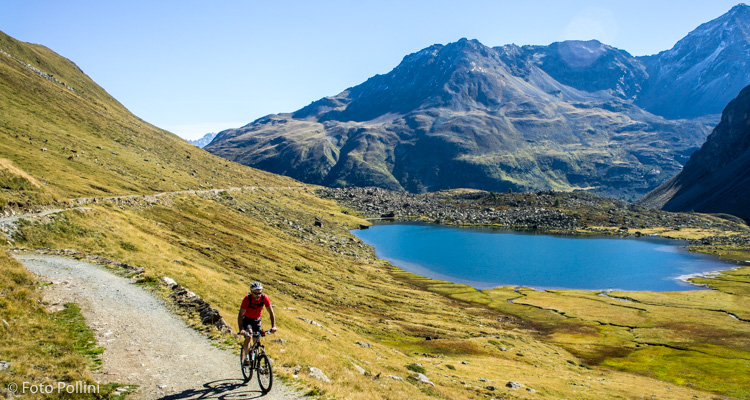
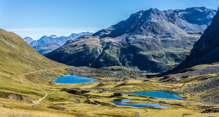
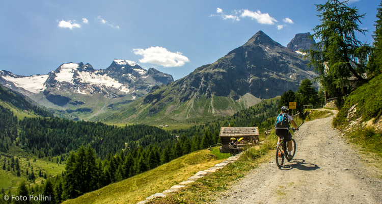
This route links Upper Valtellina and the Swiss canton of Graubünden. A rough track with moderate gradients winds its way through long Val Viola. Views to the left go from majestic Cima Piazza to Cima di Lago Spalmo through to Corno Dosdè. The average gradient is low, but with a few stretches that reach 10%. From the bend at Arnoga, take the tarmacked road that then becomes a rough track, rising through the thick pine wood. It leads to the large clearing at Alpe di Campo, which marks the start of the route in Val Verva (route no. 83). Continuing past the mountain chalets or baite in Altumeira brings you to the turnoff for Val Cantone di Dosdè. It passes above Lake Viola and reaches the mountain refuge on the banks of another small lake. Fitter riders can reach the pass over into Switzerland.
Testi e dati tecnici a cura di Federico Pollini