placeholder EN


Alta Valtellina
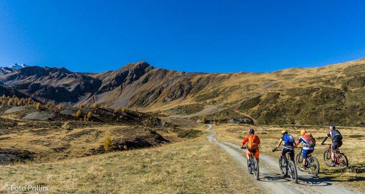
E-bike - Bormio, Forte Oga, San Colombano
Bormio, Oga, Forte di Oga, Sposina Bassa, Malga San Colombano - ritorno a Bormio
- Starting point: Bormio (1225)
- Ending point: Malga San Colombano (2236)
- Max. altitude: 2236 m s.l.m.
- Ascent: 1070 m
- Descent: 1070 m
- Total climbing: 13.5 km
- Total descending: 13.5 km
- Total distance on flat: 0 km
- Lenght: 27 km
- Duration: 3 - 4 h
- Difficulty: Medium
- Average slope : 8%
- Max. slope: 12%
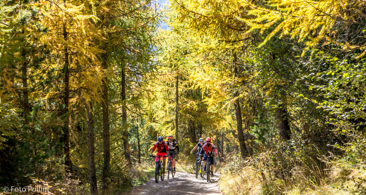
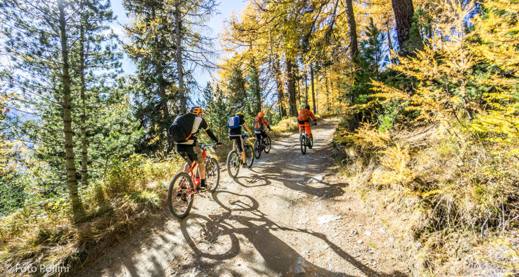
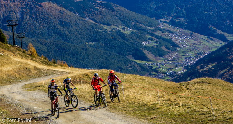
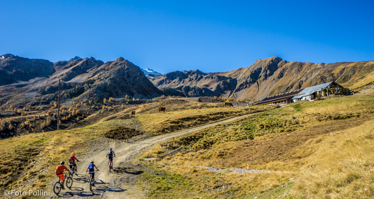
The route is tarmacked from Bormio to Forte di Oga, then it becomes a beautiful rough track through the wood, with regular although rather steep gradients, often more than 10%, especially towards the end where it may be necessary to use medium pedal assist. You come out of the woods in the upper part of Val Cadolena, at the San Colombana malga and comfortable holiday farmhouse. The view encompasses the “magnificent land” of Bormio and the mountain peaks of Valfurva. A 360° view is the prize for those making the extra effort to reach the church of the same name. As an alternative to taking the same route back, more expert riders can go down the ski slopes beneath Monte Masucco to the steep rough track at Isolaccia and back to Bormio along the cycle path.
Testi e dati tecnici a cura di Federico Pollini