placeholder EN


Alta Valtellina
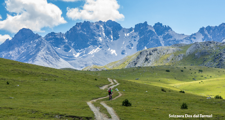
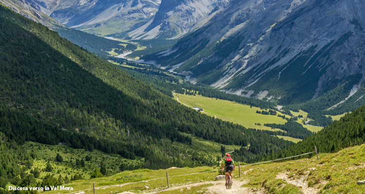
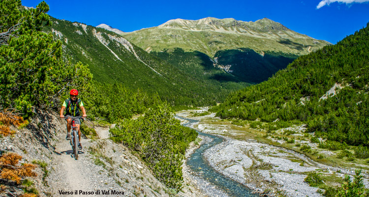
Cancano Val Mora
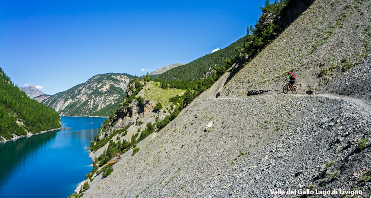
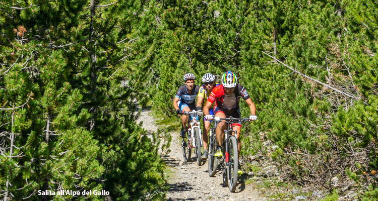
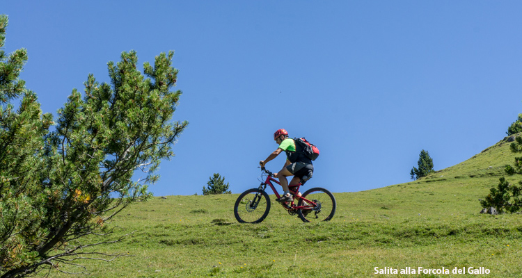
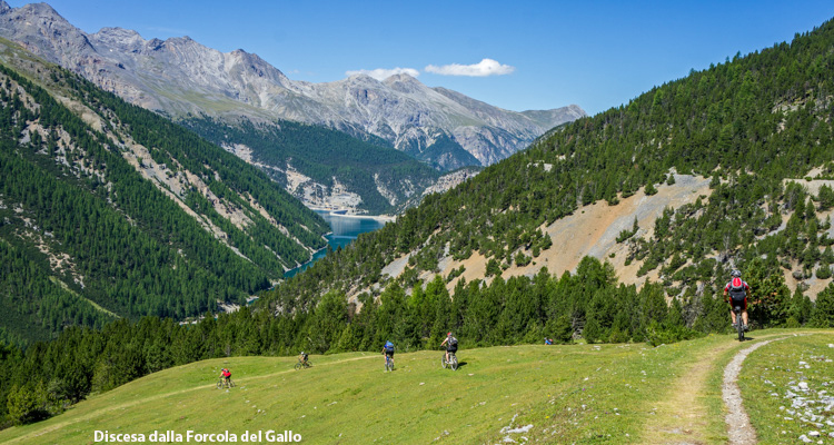
San Giacomo di Fraele, Passo di Fraele, Acqua del Gallo, Lago di Livigno, Alpe del Gallo, Forcola del Gallo, Zollhaus, Doss dal Termel, Alpe Mora, Val Mora, Passo di Val Mora, San Giacomo di Fraele - Segnaletica lungo l’itinerario: n° 199 - 182.1 – 182
- Starting point: San Giacomo di Fraele (1952)
- Ending point: Forcola del Gallo (2280)
- Max. altitude: 2318 m s.l.m.
- Ascent: 600 m
- Descent: 600 m
- Total climbing: 11.2 km
- Total descending: 14.4 km
- Total distance on flat: 0 km
- Lenght: 25.6 km
- Duration: 4 - 5 h
- Difficulty: Very hard
- Average slope : 7%
- Max. slope: 12%
This is a so-called “Interreg Alta Rezia” route connecting Italy to Switzerland through the Swiss and the Stelvio National Parks. The start is from Passo di Fraele (I), which is the watershed between Adda river and Spöl/Inn/Danubio basins towards Grasso di Prà Grata, a spectacular and solitary place surrounded only by the wild cliffs of Piz Murtarol and Cassa del Ferro and descending to the wide valley bottom. The fjord of Livigno lake appears all at once while heding downhill. After the climb you emerge from the vegetation in front of a landscape getting wider and wider. You descend into the marvellous Val Mora and come back to Italy crossing the Pass of the same name.
Foto, testi e dati tecnici a cura di Federico Pollini