placeholder EN


Alta Valtellina
E-bike - Livigno, Valle delle Mine
Livigno Placheda, Florin, Palipert, Ponte Lungo, Tresgenda, Valle Mine, Alpe delle Mine, Ristoro Alpe delle Mine - ritorno a Livigno
- Starting point: Livigno Placheda (1870)
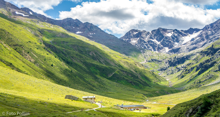
- Ending point: Ristoro Alpe Mine (2194)
- Max. altitude: 2194 m s.l.m.
- Ascent: 350 m
- Descent: 350 m
- Total climbing: 4.8 km
- Total descending: 4.8 km
- Total distance on flat: 6.2 km
- Lenght: 15.8 km
- Duration: 1 - 2 h
- Difficulty: Easy
- Average slope : 8%
- Max. slope: 15%
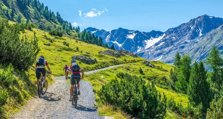
The first 4 km, which bring you close to the start of Valle delle Mine, takes you on the long cycle path that runs the entire length of the valley of Livigno, from the lake through to the casera or old milk processing factory in Vago. The beauty of its surroundings and lie of the land make this cycle path an equally valid alternative route for an e-mountainbike ride. Once you get to the group of houses in Tresgenda, the route crosses the valley and starts to rise along a rough compact track through a conifer wood. The average gradient is feasible, even if there some short steep climbs that reach 15%. You come out of the woods at 2000 metres asl, on the left crossing the difficult trail from Mottolino. Continue to Ristoro Alpe Mine, where you can relax in comfort.
Testi e dati tecnici a cura di Federico Pollini