placeholder EN


Alta Valtellina
E-bike - Santa Caterina Valfurva, Rifugio Pizzini
Santa Caterina Valfurva, I Forni, Malga dei Forni, Rifugio Pizzini, I Forni - ritorno a Santa Caterina Valfurva
- Starting point: S.Caterina Valfurva (1734)
- Ending point: Rifugio Pizzini (2706)
- Max. altitude: 2706 m s.l.m.
- Ascent: 972 m
- Descent: 972 m
- Total climbing: 10.6 km
- Total descending: 9.8 km
- Total distance on flat: 0 km
- Lenght: 20.4 km
- Duration: 3 - 4 h
- Difficulty: Hard
- Average slope : 9%
- Max. slope: 18%
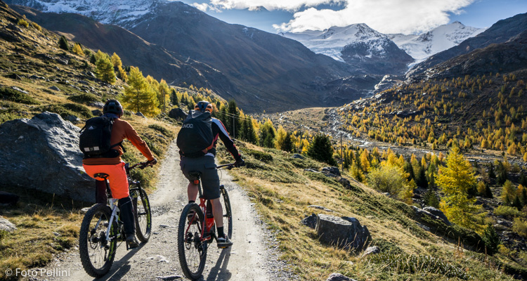
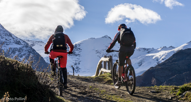
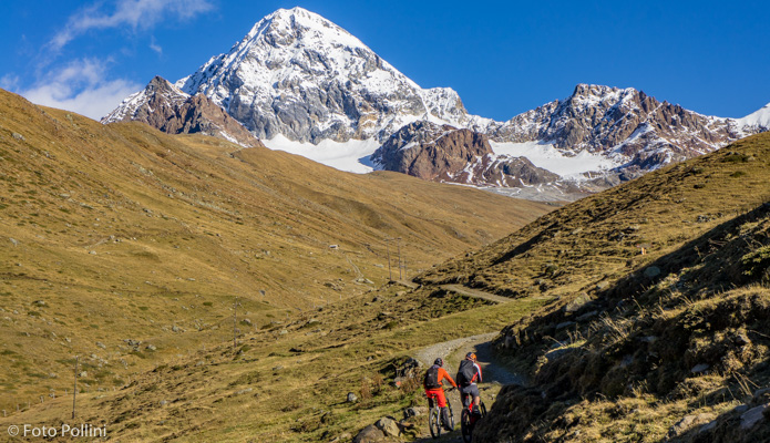
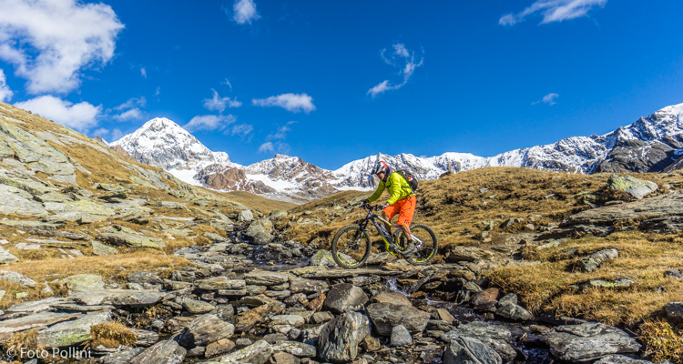
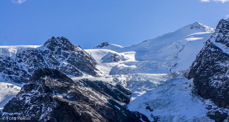
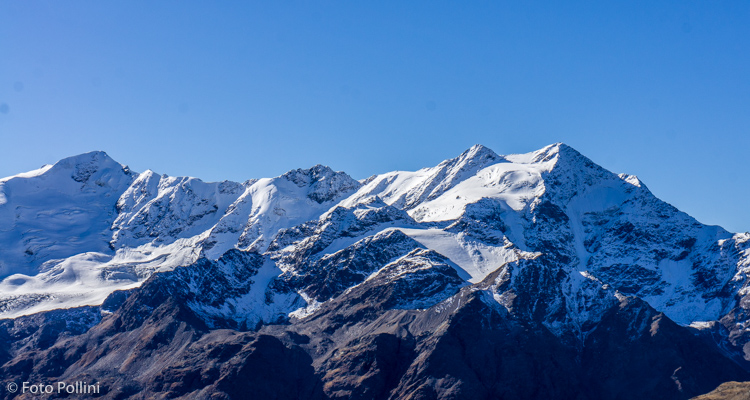
Forni is a typical high mountain valley with wonderful views and enjoyable routes, overlooked by the amazing glacier of the same name, the famous thirteen peaks, Gran Zebrù and Ortles. The first part uphill to Forni is on tarmac, with a variety of gradients, alternating stretches that can be pedalled and climbs over 15%. From the Forni mountain refuge, a rough track with an average high but regular gradient takes you to the Malga of the same name. Turn left here into Val Cedec, with majestic Gran Zebrù standing out in the distance. A long pedal and final steep climb takes you to Rifugio Pizzini. From here, looking east, you can admire the chaos of ice that is the small Cedec glacier, easy to spot between Monte Cevedale and Monte Pasquale. The downhill route offers views of the summits of the Forni Glacier (from Tresero to San Matteo).
Testi e dati tecnici a cura di Federico Pollini