placeholder EN


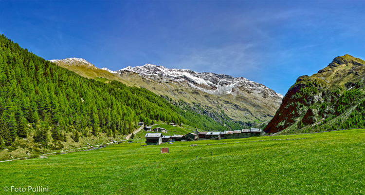
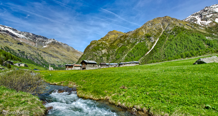
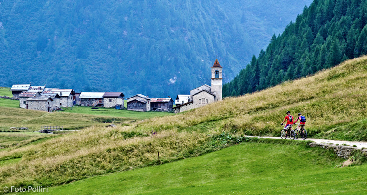
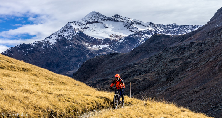
Alta Valtellina
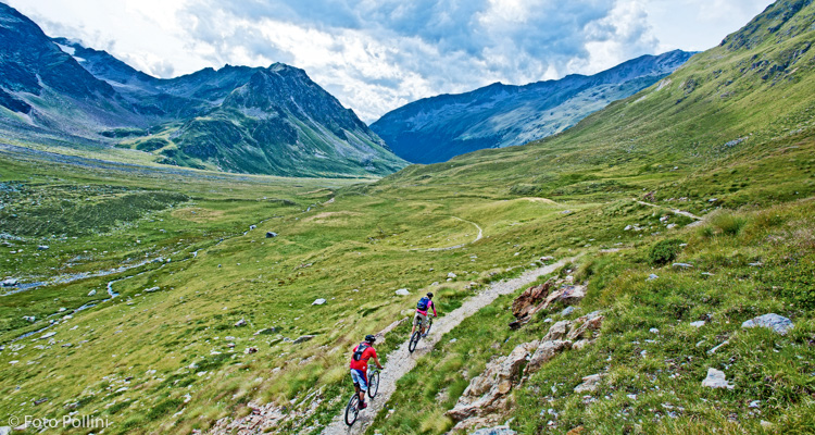
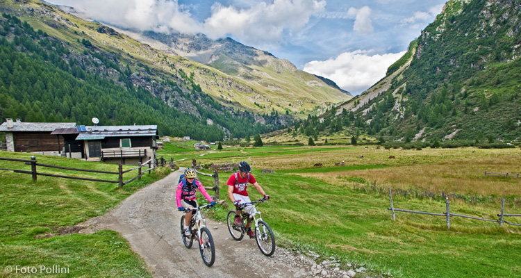
E-bike - Santa Caterina Valfurva, Val di Rezzalo, Le Prese
Santa Caterina Valfurva, Plaghera, Ponte e Valle dell’Alpe, Passo dell’Alpe, Clevaccio, San Bernardo, Fumero, Frontale, Le Prese
- Starting point: S.Caterina Valfurva (1734)
- Ending point: Le Prese (950)
- Max. altitude: 2460 m s.l.m.
- Ascent: 726 m
- Descent: 1510 m
- Total climbing: 10 km
- Total descending: 16.4 km
- Total distance on flat: 0 km
- Lenght: 26.4 km
- Duration: 3 - 4 h
- Difficulty: Hard
- Average slope : 7%
- Max. slope: 13%
This route goes through the protected Stelvio National Park, with very interesting nature and scenery. Wide open and light-filled, Val di Rezzalo is one of the few valleys in the province of Sondrio still with a typical picturesque appearance, and mountain chalets or baite high up on the slopes. The first part climbs up the Gavia road for about 7.5 kilometres, then at Ponte dell’Alpe, take the steep rough road to the right up to Passo dell’Alpe (some trail stretches). All downhill from here, with a trail then a rough track passing through the baite in Clevaccio and, after a few steep hairpins, through the valley’s central plain to San Bernardo. The rough track drops steeply to the Fontanaccia car park, where a tarmacked road leads first to Fumero and then Le Prese in the valley bottom. You obviously have to organise transport logistics.
Testi e dati tecnici a cura di Federico Pollini