placeholder EN


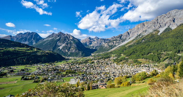
Alta Valtellina
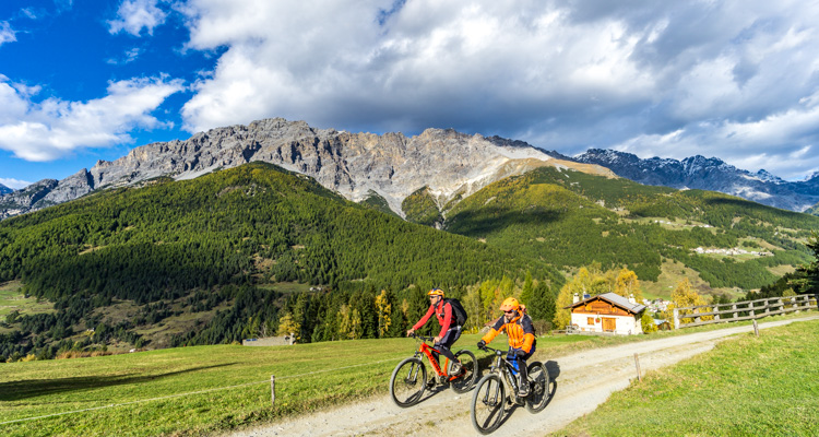
E-bike - Bormio, Sobretta, Calvarana
Bormio, San Pietro, Bormio 2000, Monti di Sobretta, Calvarana, La Poce, Campolungo, Bormio
- Starting point: Bormio (1225)
- Ending point: Prima di Sobrettina (2120)
- Max. altitude: 2120 m s.l.m.
- Ascent: 1050 m
- Descent: 1050 m
- Total climbing: 16 km
- Total descending: 12 km
- Total distance on flat: 0 km
- Lenght: 28 km
- Duration: 2 - 3 h
- Difficulty: Medium
- Average slope : 7%
- Max. slope: 10%
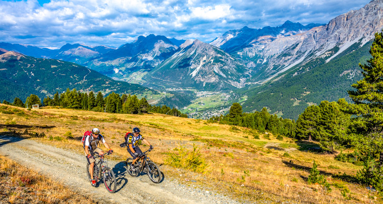
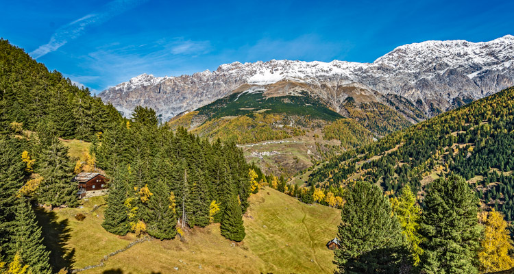
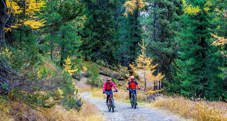
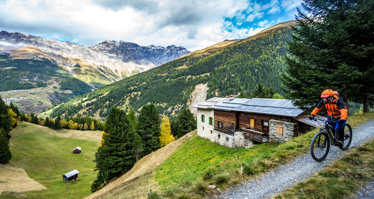
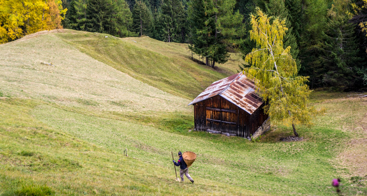
This is a circular route through the woods between Bormio and Santa Caterina, on an excellent rough track. First you need to pedal on a tarmacked road to Bormio 2000, 10 kilometres of easy climbs and a difference in altitude of 750 metres. Then comes a long crossing in the direction of Valfurva, an alternation of thick woods and grassy openings that offer panoramic views. From Monti di Sobretta a steep downhill stretch leads to a crossroads: turn left back to Bormio, an up and downhill route with short climbs. Once in Campolungo, take a left onto the plain, across the “Stelvio” ski slope to meet up with the road leading up to Bormio 2000, just below San Pietro. At the previous Sobretta di Sotto crossroads you can continue to your right for 4.7 km on rough track no. 522 to Santa Caterina, through Comogna woods.
Testi e dati tecnici a cura di Federico Pollini