placeholder EN


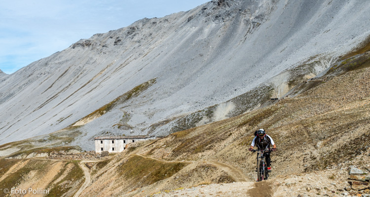
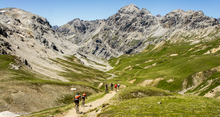
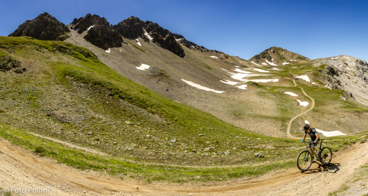
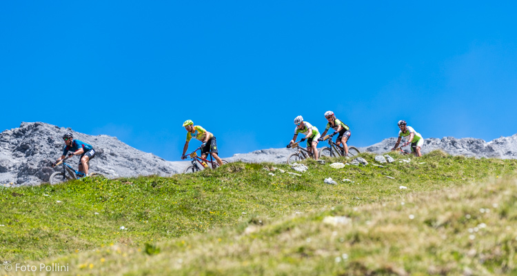
Alta Valtellina
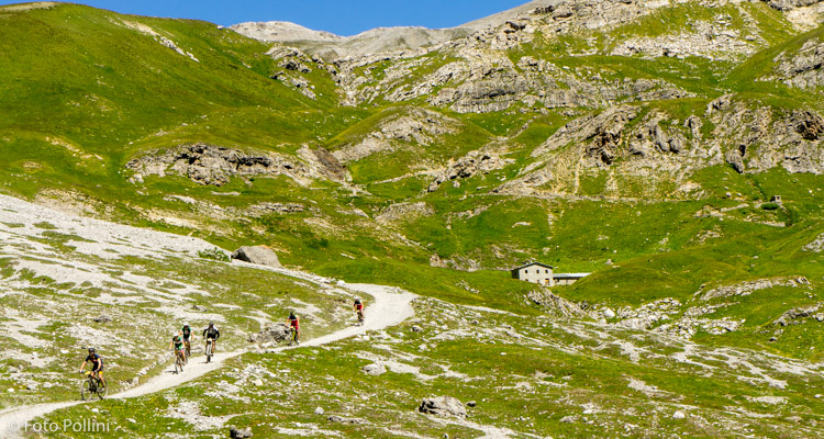
E-bike - Cancano, Valle e Bocchetta della Forcola
Cancano, Alpe Solena, Val della Forcola, Malga di Forcola, Bocchetta di Forcola di Rims - ritorno a Cancano
- Starting point: Cancano (1940)
- Ending point: Bocchetta Forcola (2765)
- Max. altitude: 2765 m s.l.m.
- Ascent: 1000 m
- Descent: 1000 m
- Total climbing: 10.6 km
- Total descending: 10.6 km
- Total distance on flat: 0 km
- Lenght: 21.2 km
- Duration: 4 - 5 h
- Difficulty: Very hard
- Average slope : 12%
- Max. slope: 18%
This route goes through the long valley of Forcola, between the Cancano lakes and the valley of Braulio with the Stelvio. The views, especially at the top, are moon-like and the trail has a rich history as it saw many battles during World War One: in the mountains around the Bocchetta della Forcola, remains of trenches and military outposts can still be seen. It has a high average gradient with some long stretches, after the Malga, that even exceed 15% over very rough, stony terrain. This makes medium/high pedal assist a possibility to consider. From the Bocchetta there is a marvellous view out over the glaciers of the Stelvio and the Ortles mountain range, and you can also see the start of the steep trail down to the Giogo di Santa Maria.
Testi e dati tecnici a cura di Federico Pollini