placeholder EN


Alta Valtellina
Livigno, Alpe Trela, Val Alpisella
Livigno Pemont Park 4, Lago di Livigno, Canale Torto, Val Pila, Passo di Val Trela, Alpe Trela, Val Pettini, Lago di San Giacomo di Fraele, sorgenti dell'Adda, Passo di Val Alpisella, Livigno Pemont Park 4 - Segnaletica lungo l’itinerario: n° 138 - 136 - 130 - 199 - 138
- Starting point: Livigno Pemont Park 4 (1807)
- Ending point: Passo di Val Trela (2295)
- Max. altitude: 2295 m s.l.m.
- Ascent: 850 m
- Descent: 850 m
- Total climbing: 15 km
- Total descending: 12 km
- Total distance on flat: 0 km
- Lenght: 27 km
- Duration: 4 - 5 h
- Difficulty: Very hard
- Average slope : 7%
- Max. slope: 16%
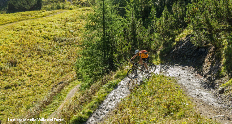
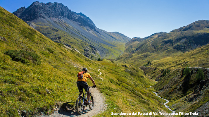
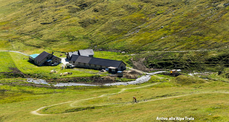
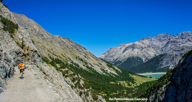
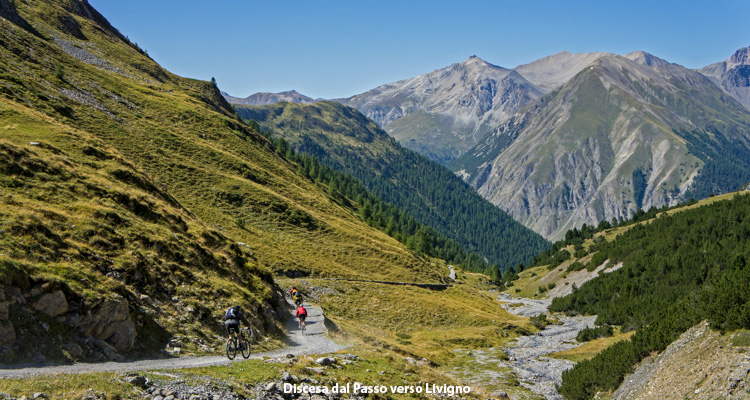
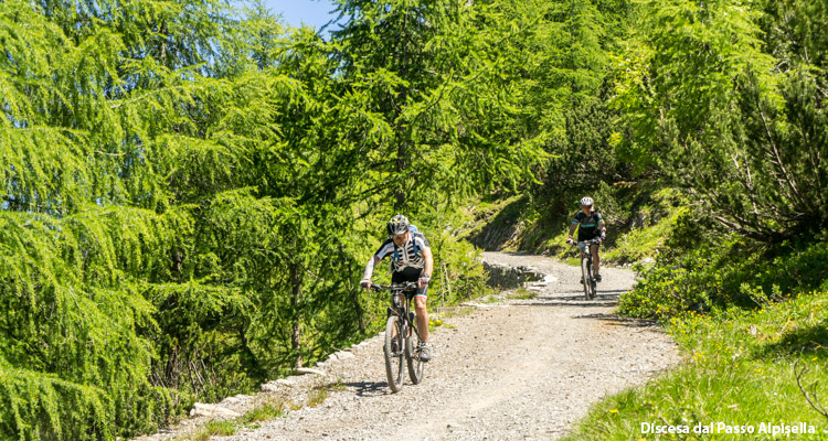
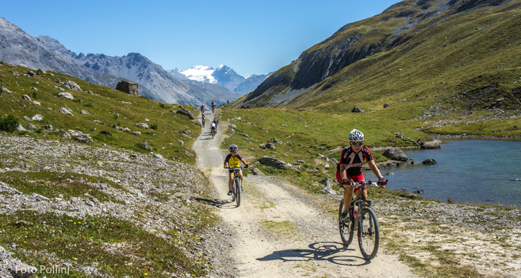
This is the third of the famous ring-routes crossing the wonderful valleys from Livigno, to Cancano and Valdidentro. We have to ride on two relentless climbs. The reward is a suggestive landscape of unspoilt nature. At the top of the first hill of Val Trela, the enchanting mountain pastures suddenly appear to us stretching out at the junction of four valleys. Then we descend into the obscure Val Pettini, reach the Cancano lakes and start the nice climb uphill the length of Valle Alpisella on a dirt road through a conifer wood accompanied by the sight of the mountains of Ortles group, which we soon leave behind us. As soon as we get to the source of Adda River and reach the pass, we are immediately thrown into a high mountain environment, among gravel, rocks and thin pastures. The last descent to Livigno is really spectacular. The route can be run backwards too and most of all you can create other alternative ways following the routes “Giro dei Laghi di Cancano” – “Cancano, Acqua del Gallo, Val Mora” e “Passo Foscagno, Alpe Trela”.
Foto, testi e dati tecnici a cura di Federico Pollini