placeholder EN


Alta Valtellina
E-bike - Arnoga, decauville, Laghi di Cancano
Valdidentro Arnoga, decauville, Presure, Gattonino, Torri di Fraele, Cancano, Diga Fraele, San Giacomo di Fraele, Ristoro San Giacomo, Ristoro Val Fraele, Ristoro Solena, Diga Cancano, Cancano, Arnoga
- Starting point: Arnoga Valdidentro (1880)
- Ending point: Cancano (1950)
- Max. altitude: 1970 m s.l.m.
- Ascent: 250 m
- Descent: 250 m
- Total climbing: 11 km
- Total descending: 13 km
- Total distance on flat: 21 km
- Lenght: 45 km
- Duration: 3 - 4 h
- Difficulty: Easy
- Average slope : 4%
- Max. slope: 7%
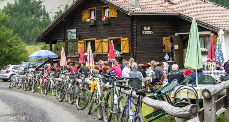
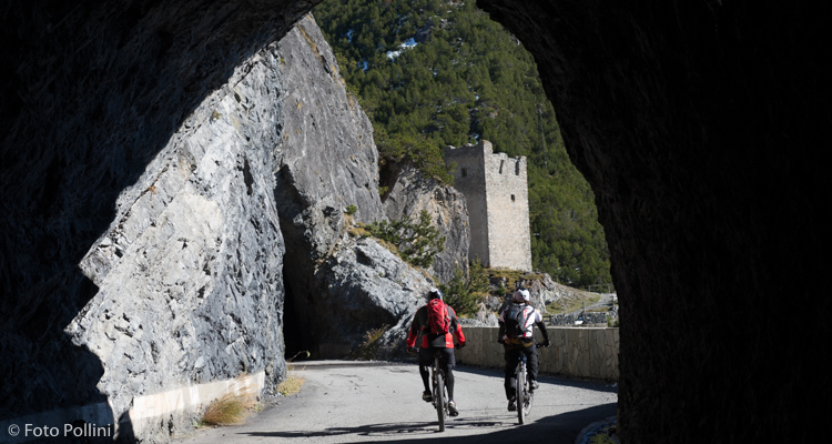
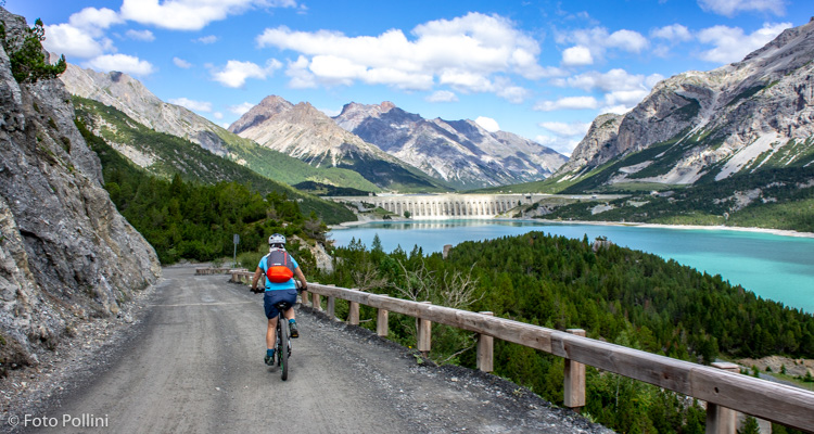
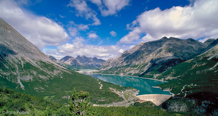
The first 10 kilometres of the route are on the level, following the old Milan electricity board service road, used for the transport of material to the Cancano dams. Views of majestic Cima Piazzi and the whole of the valley down from Valdidentro through to Bormio are ensured. After the last hairpins on the road up to Torri di Fraele and the lakes, there is the start of a rough track that goes around the reservoirs, with plenty of eating places and picnic areas. This figure-of-eight route goes through the splendour of the Stelvio National Park, allowing for different views of the surrounding scenery. In the summer, the road is shut to cars for an even more peaceful, tranquil ride.
Testi e dati tecnici a cura di Federico Pollini
-Modifica.jpg)