placeholder EN


Morbegno Bassa Valle
E-bike - Traversata dei Cech
Mantello la Fiorida, Cino, Cercino, San Giovanni di Bioggio, Mello, Civo, Serone, Dazio, Cermeledo, Cerido, Selva Piana, Santa Croce, via Corlazio, via Manescia, via Covento, Traona, Sentiero Valtellina, Mantello La Fiorida
- Starting point: Mantello (210)
- Ending point: Civo (750)
- Max. altitude: 750 m s.l.m.
- Ascent: 700 m
- Descent: 700 m
- Total climbing: 10.5 km
- Total descending: 12.2 km
- Total distance on flat: 5 km
- Lenght: 27.7 km
- Duration: 2 - 3 h
- Difficulty: Medium
- Average slope : 6%
- Max. slope: 10%
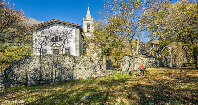
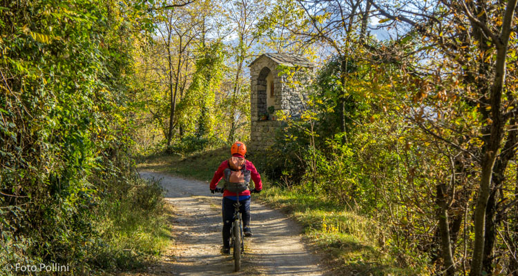
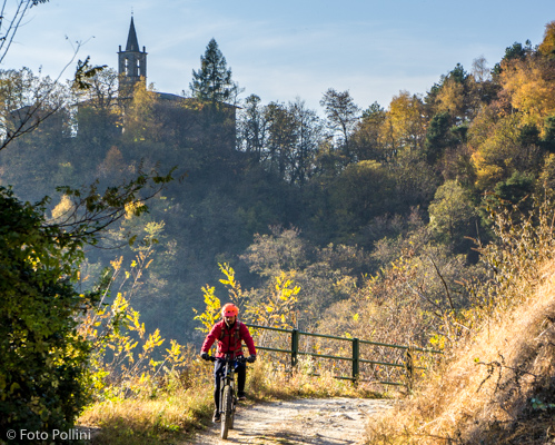
The “Costiera dei Cech” is the stretch of the Rhaetian slope in Valtellina that reaches between the mouth of Valchiavenna and the start of Valmasino. This is a long sunny terrace on the Morbegno plain, dotted with towns, villages and hamlets in amongst chestnut woods and terraced vineyards. This route is good in cooler weather and cuts horizontally across the most significant area and almost all the agglomerates. It starts at the Fiorida holiday farmhouse in Mantello and climbs on tarmac through to the rise, on which the characteristic church of San Giovanni di Bioggio stands alone. A short rough track leads back down to Mello. Tarmac again to reach Civo and shortly after the downhill return route eastwards. This route avoids all the main roads and, on the plain, reaches the starting point for the Sentiero Valtellina trail.
Testi e dati tecnici a cura di Federico Pollini