placeholder EN


Sondrio Valmalenco
E-bike - Berbenno, Pra Isio, Caldenno
Berbenno di Valtellina, Polaggia, Gaggio, Prà Isio, Alpe Caldenno - ritorno a Berbenno di Valtellina
- Starting point: S.Pietro Berbenno (430)
- Ending point: Alpe Caldenno (1800)
- Max. altitude: 1800 m s.l.m.
- Ascent: 1370 m
- Descent: 1370 m
- Total climbing: 14.9 km
- Total descending: 14.9 km
- Total distance on flat: 0 km
- Lenght: 29.8 km
- Duration: 3 - 4 h
- Difficulty: Medium
- Average slope : 9%
- Max. slope: 12%
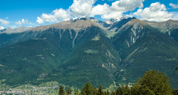
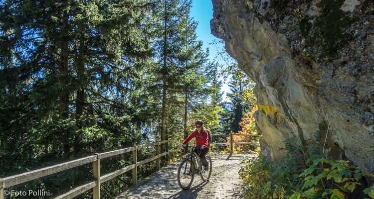
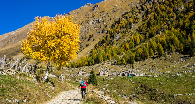
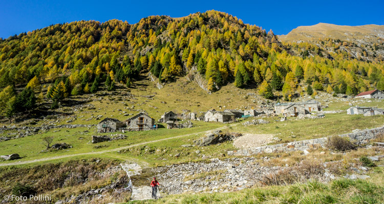
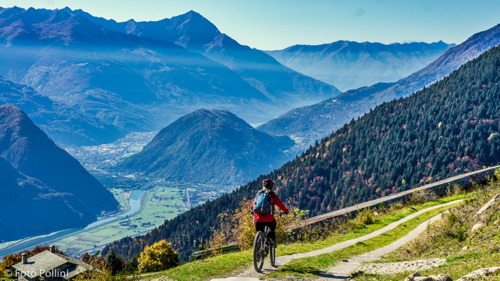
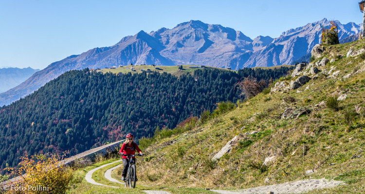
A big total difference in altitude and length mean that less fit riders will need medium pedal assist. From Polaggia, a hamlet in Berbenno, you pedal up a tarmacked road, following signs for Gaggio and Prà Isio. A series of constant gradient hairpins in the woods bring you to the meadows in Gaggio. A concrete road then leads to Prà Isio on the other side of the trees. The natural terrace of the Alps offers wonderful views of the middle Valtellina and Orobic mountain peaks. From the top of the meadows, continue right along the rough track into the Caldenno valley: the gradient lessens below the characteristic group of mountain chalets on the mountain of the same name. The last steep hairpins take you to the small church: to the north you can see the summits of Corni Bruciati. From Berbenno you can also ride along the ridge to Prà Maslin.
Testi e dati tecnici a cura di Federico Pollini