placeholder EN


Sondrio Valmalenco
E-bike - Triangia, Ligari, Lago Colina
Triangia (Sondrio), Ligari, Forcola, Poverzone, Alpe Prato Secondo, Alpe Marscenzo, Alpe e Lago Colina - ritorno a Triangia
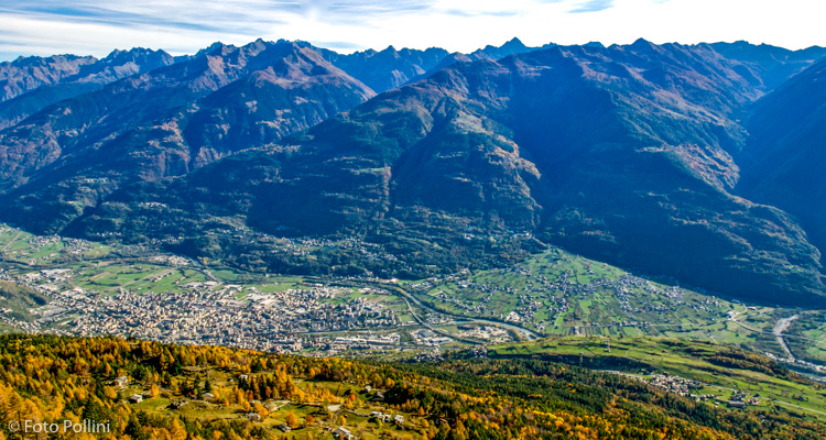
- Starting point: Triangia (Sondrio) (785)
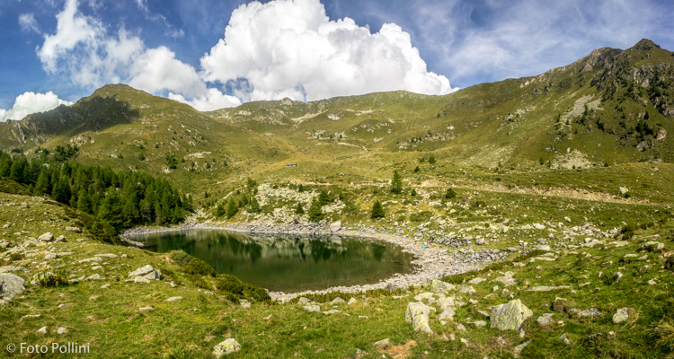
- Ending point: Alpe e Lago Colina (2085)
- Max. altitude: 2085 m s.l.m.
- Ascent: 1300 m
- Descent: 1300 m
- Total climbing: 16.8 km
- Total descending: 16.8 km
- Total distance on flat: 0 km
- Lenght: 33.6 km
- Duration: 3 - 4 h
- Difficulty: Hard
- Average slope : 8%
- Max. slope: 20%
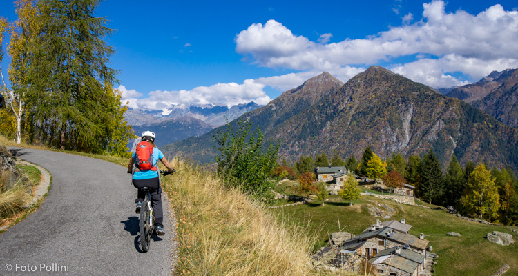
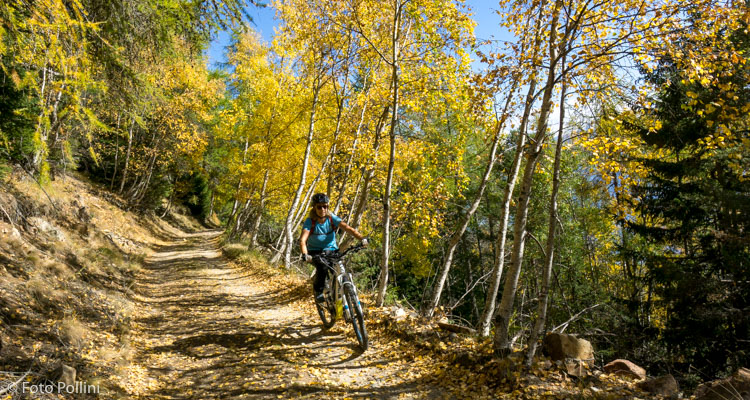
This fairly long route has a feasible average gradient, with a few very steep loose rough parts requiring medium/high pedal assist. It begins in Triangia, a hamlet in Sondrio at almost eight hundred metres asl and an average gradient tarmacked road takes you to Ligari. After three hairpins, the road crosses to the east and becomes mainly rough with a few stretches in concrete. When you reach Prati Rolla, the trail starts to rise with increasingly steeper gradients until it becomes very steep on loose terrain after the Forcola mountain chalets or baite. Alpe Poverzone (1900 m asl) marks the beginning of the long crossing at altitude westwards to Alpe and Lake Coline.
Fitter riders who choose to start from Sondrio can follow a circular route, coming down from Colina on a fairly stony rough track to Postalesio and then on down to the valley bottom.
Testi e dati tecnici a cura di Federico Pollini