placeholder EN


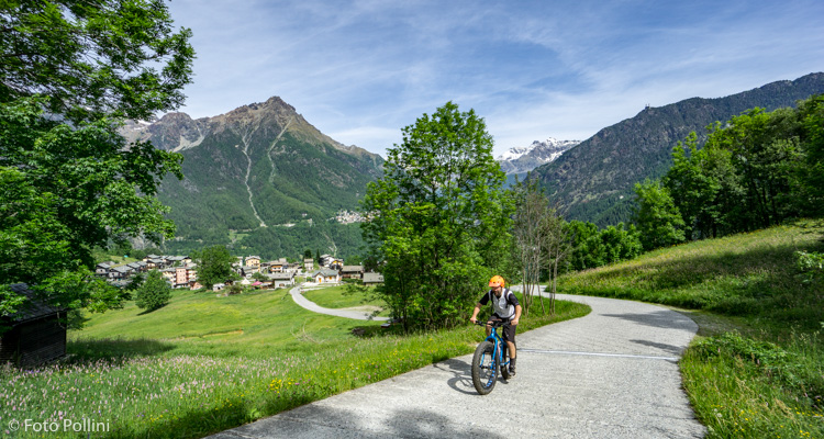
Sondrio Valmalenco
E-bike - Caspoggio, Pianaccio
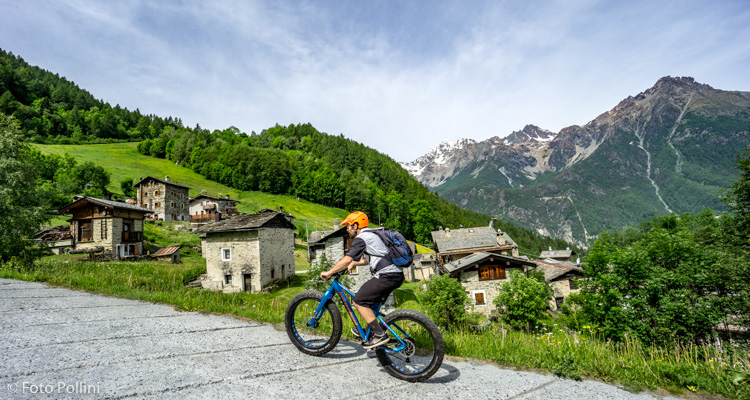
Caspoggio, Santa Elisabetta, Prabello, Sant’Antonio, Pianaccio, Braccia, Caspoggio
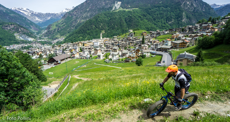
- Starting point: Caspoggio (1073)
- Ending point: Pianaccio (1343)
- Max. altitude: 1343 m s.l.m.
- Ascent: 270 m
- Descent: 270 m
- Total climbing: 3 km
- Total descending: 3 km
- Total distance on flat: 0 km
- Lenght: 6 km
- Duration: 1 - 2 h
- Difficulty: Easy
- Average slope : 6%
- Max. slope: 17%
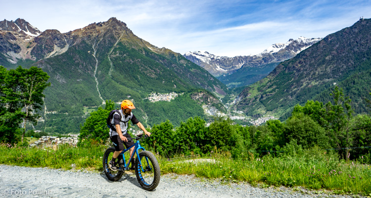
This is a short circular route with climbs on tarmacked roads and rough tracks. The low gradient from Caspoggio to Santa Elisabetta is followed by the stretch to Sant'Antonio with short climbs of over 15% that may call for use of medium pedal assist. The rough track down to Caspoggio goes through the lovely mountain chalets in Pianaccio and through Braccia.
More expert, technically prepared riders can pedal up to Piazzo Cavalli from Sant'Antonio, along a tiring rough track used by service vehicles for the ski slopes (with gradients of over 20%) while for the downhill route they can try the “Trail delle Valli”, an entirely hand-prepared new trail exclusively for mountain bikes!
Testi e dati tecnici a cura di Federico Pollini