placeholder EN


Tirano Media Valle
E-bike - Grosio, Fusine, Eita
Grosio, San Giacomo, Fusino, strada asfaltata per Eita, Eita, sterrata sinistra orografica, Piatta, Fusino, Grosio
- Starting point: Grosio (658)
- Ending point: Eita Valgrosina (1698)
- Max. altitude: 1698 m s.l.m.
- Ascent: 1040 m
- Descent: 1040 m
- Total climbing: 15.5 km
- Total descending: 13.3 km
- Total distance on flat: 0 km
- Lenght: 28.8 km
- Duration: 2 - 3 h
- Difficulty: Medium
- Average slope : 7%
- Max. slope: 15%
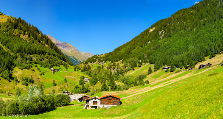
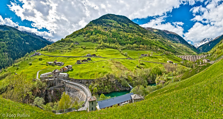
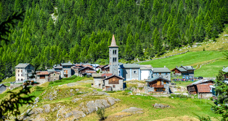
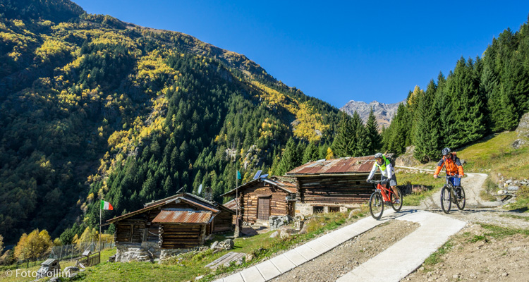
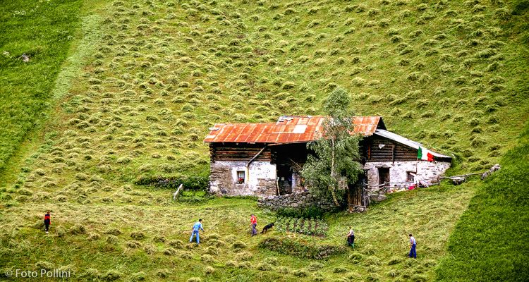
Val Grosina has still unspoilt, well-preserved Alpine views and scenery: mountain meadows, streams, lakes and typical rural settlements. It is divided into two main valleys: Val d’Eita to the east and Val di Sacco to the west. The uphill route towards Eita is all tarmacked and passes through Fusino (above the first dam), before following the right-hand slope of the valley with an accessible average gradient. It goes around the left side of the second large artificial lake, calling for some hard pedalling with gradients up to 15% to reach Eita in a large glacier hollow. The descent is down the other side of the valley on a rough and concrete track that passing various groups of mountain chalets or baite and farmed pastures, back to Fusino. The last stretch, after San Giacomo, is down a rough track to Castello Venosta and then Grosio.
Testi e dati tecnici a cura di Federico Pollini