placeholder EN


Tirano Media Valle
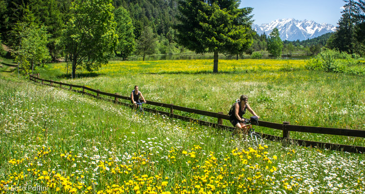
E-bike - Aprica, Pian Gembro, Trivigno
Aprica, Pian di Gembro, strada per Trivigno, strada sterrata Alpe Strencia-Monte Giovello, Trivigno, parcheggio pista da fondo, Albergo Paradiso, Alpe Strencia, Pian Gembro, Alpe Valcheola, Pian Gembro, Aprica
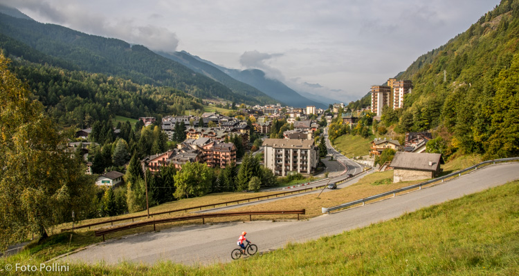
- Starting point: Aprica (1174)
- Ending point: Trivigno (1790)
- Max. altitude: 1790 m s.l.m.
- Ascent: 800 m
- Descent: 800 m
- Total climbing: 16 km
- Total descending: 15.3 km
- Total distance on flat: 1.7 km
- Lenght: 33 km
- Duration: 2 - 3 h
- Difficulty: Easy
- Average slope : 5%
- Max. slope: 10%
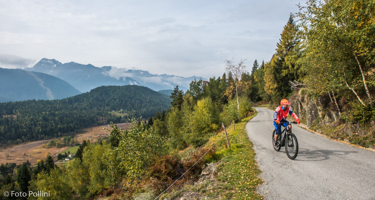
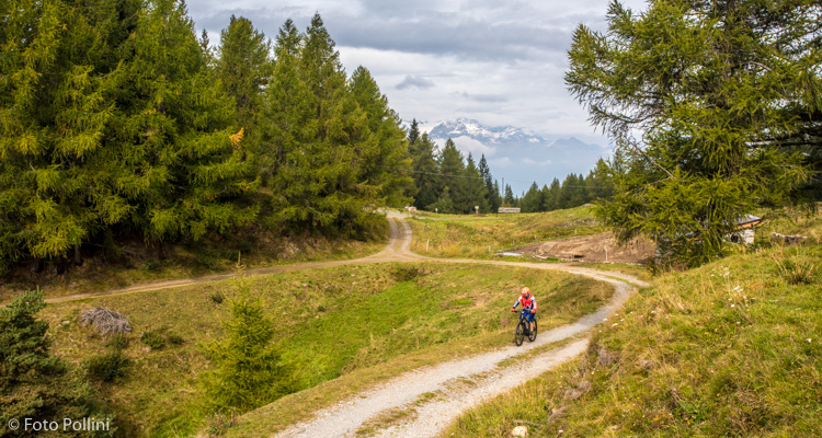
The route from Aprica up to Trivigno has a medium/low gradient that rarely exceeds 10%, making pedalling pleasant and letting cyclists enjoy the beauty of the surrounding scenery. This tarmacked road goes through Pian Gembro the first time and continues up to 1560 metres asl, where you take the right-hand fork. A rough track then takes you to Trivigno, to the car park for the cross-country trails, via Alpe Strencia, below Monte Giovello. The return takes you down to Albergo Paradiso, where a rough stretch brings you back to Alpe Strencia and the tarmacked road. Down in Pian Gembro for the second time, you follow a circular route that, before returning to Aprica, allows cyclists to visit the Natural Oases with a well-deserved stop with a view of the Adamello mountain range.
Testi e dati tecnici a cura di Federico Pollini