placeholder EN


Tirano Media Valle
E-bike - Madonna di Tirano, Lughina
Madonna di Tirano, Ragno, San Sebastiano, Novaglia, Romaione, Piatta, Lughina - ritorno a Madonna di Tirano
- Starting point: Madonna di Tirano (438)
- Ending point: Lughina (1468)
- Max. altitude: 1468 m s.l.m.
- Ascent: 1030 m
- Descent: 1030 m
- Total climbing: 9 km
- Total descending: 9 km
- Total distance on flat: 2.2 km
- Lenght: 20.2 km
- Duration: 1 - 2 h
- Difficulty: Medium
- Average slope : 11%
- Max. slope: 20%
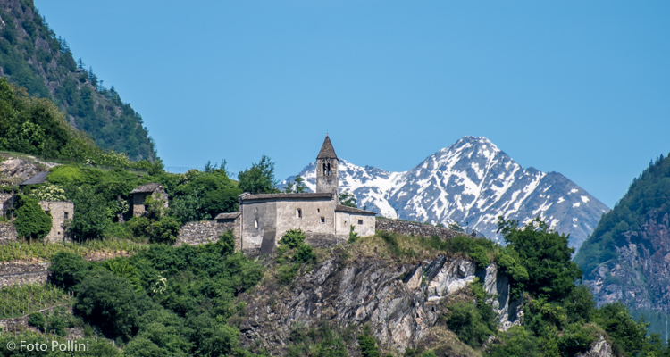
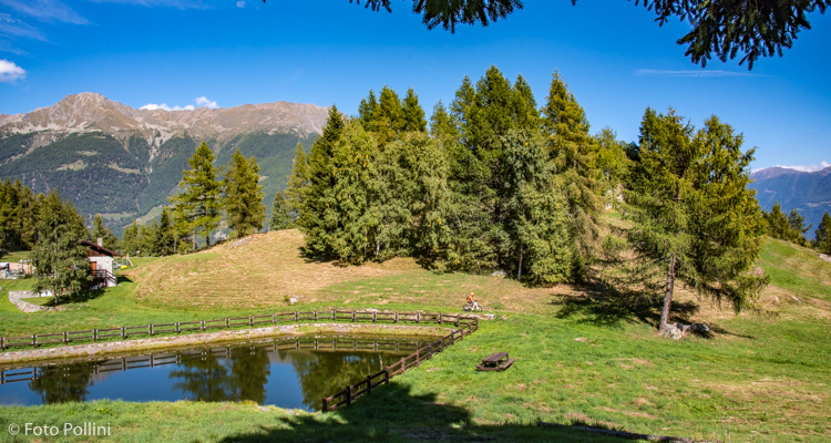
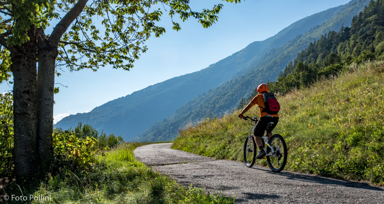
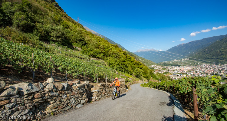
This starts in the car park close to the shrine, the Santuario Madonna di Tirano, and follows state road 38 to Sondrio. It continues over the bridge on the Poschiavino and then turns right, following signs for Lughina. At first the uphill stretch is tarmacked, with lots of bends and constant high gradient (from 15% to 19%), calling for medium-high pedal assist. After 7.5 kilometres, the road becomes a compact rough track and the slope evens out a little, requiring less effort to reach Lughina. There is a small lake here, surrounded by mountain chalets or baite, meadows and woods; to the right on a hill can be seen the ruins of the old finance corps barracks, hidden among the trees.
The track continues to the left, getting rougher, for seven bends and comes to just below the meadows in Frantelone (the last stretch is along a trail).
Testi e dati tecnici a cura di Federico Pollini