placeholder EN


Valchiavenna
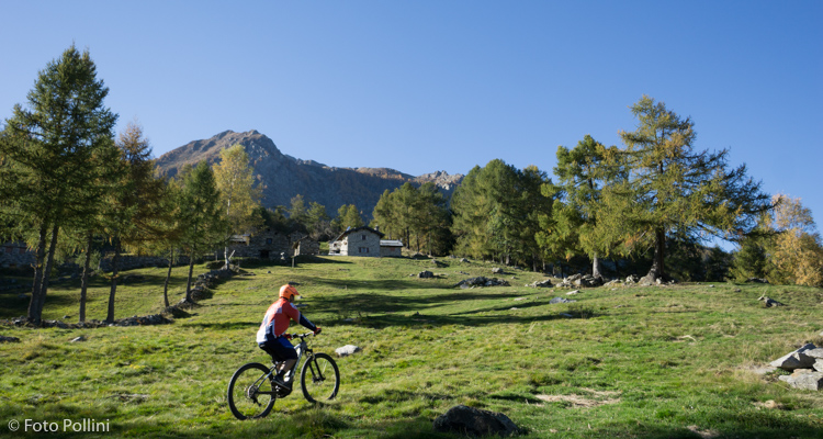
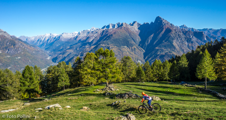
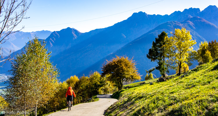
E-bike - Mese, Alpe Calones
Mese, Albareda, Cigolino, Prato Morello, Alpe Colones - ritorno a Mese
- Starting point: Mese (274)
- Ending point: Avert Calones (1344)
- Max. altitude: 1344 m s.l.m.
- Ascent: 1070 m
- Descent: 1070 m
- Total climbing: 8.7 km
- Total descending: 8.7 km
- Total distance on flat: 0 km
- Lenght: 17.4 km
- Duration: 2 - 3 h
- Difficulty: Hard
- Average slope : 12%
- Max. slope: 20%
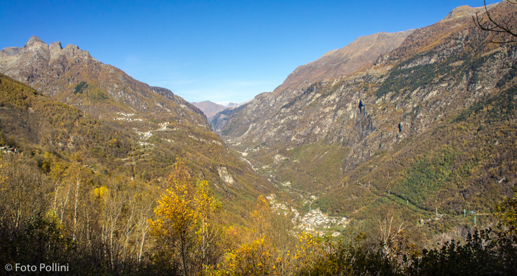
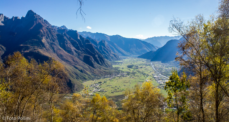
The uphill tarmacked road to Cigolino is difficult both for its average and maximum gradient and also for the monotony of its many hairpins: medium/high pedal assist will often be needed. The last stretch to Alpe Colones is all rough track. You gradually come out from between the trees, enabling you to enjoy wide views: the depths of Val Spluga, Val Bregaglia and Valchiavenna through to Lake Novate.
There is also an alternative route, unsuitable for non-experts however, for the downhill part: in the Cigolino area, under the huge antennas, you can follow a precarious, sheer trail through the woods and around a natural spur towards Val Spluga. This is followed by a little path often not marked on maps that leads to Sommarovina. From here, the steep cart track meets up with the road coming up from San Giacomo to Olmo.
Testi e dati tecnici a cura di Federico Pollini