placeholder EN


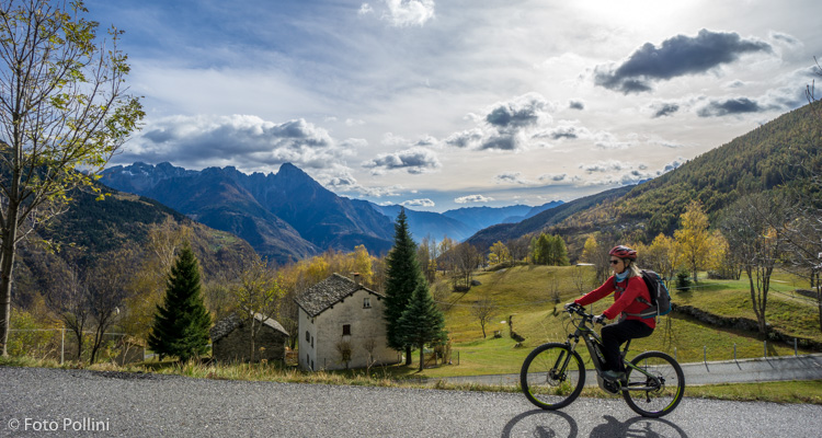
Valchiavenna
E-bike - Chiavenna, valle di Drogo
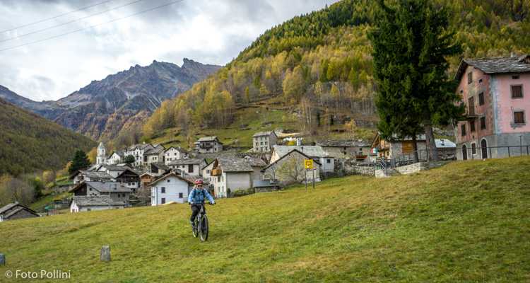
Chiavenna, San Giacomo Filippo, Motta, Olmo, San Bernardo, Valle del Drogo, San Antonio, Caurga, San Bernardo/Scannabecco - ritorno a Chiavenna
- Starting point: Chiavenna (333)
- Ending point: Caurga in Val Drogo (1263)
- Max. altitude: 1263 m s.l.m.
- Ascent: 970 m
- Descent: 970 m
- Total climbing: 15.3 km
- Total descending: 15.3 km
- Total distance on flat: 0 km
- Lenght: 30.6 km
- Duration: 3 - 4 h
- Difficulty: Hard
- Average slope : 7%
- Max. slope: 14%
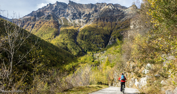
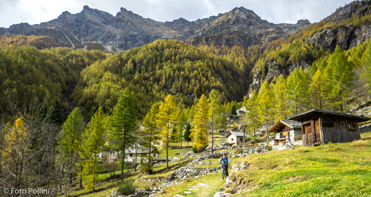
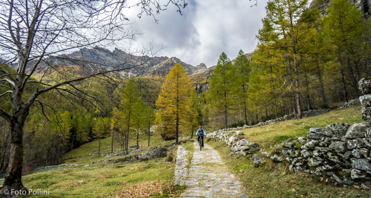
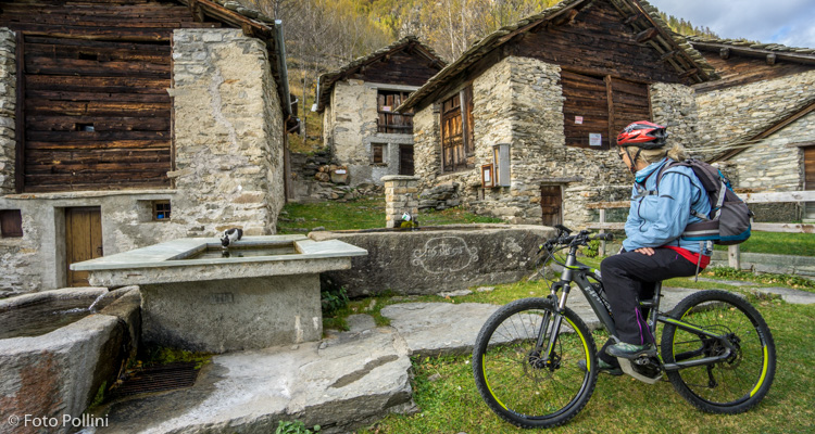
The route is fairly long and the first stretch to San Giacomo means you have to pedal along state road 36. This is followed by a tarmacked climb that goes through Olmo to the last houses at the top in San Bernardo. Here, either on the outward or return journey, you can make a detour to visit the characteristic village of Scannabecco. The gradients are rarely excessive. From San Bernardo you enter and pedal through the Valle di Drogo along the mule track and trails that might prove troublesome for the less expert. There are a few short steep bits in the final part before the group of mountain chalets or baite in Caurga in the valley bottom. A holiday farmhouse has recently opened here.
Testi e dati tecnici a cura di Federico Pollini