placeholder EN


Valchiavenna
E-bike - Campodolcino, Alpe Bondeno
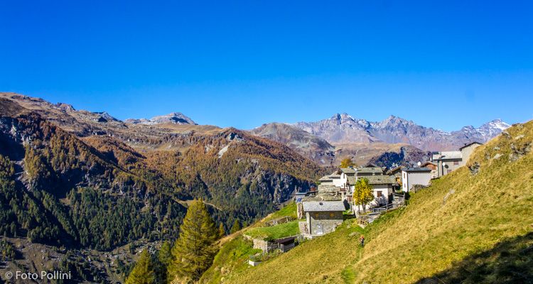
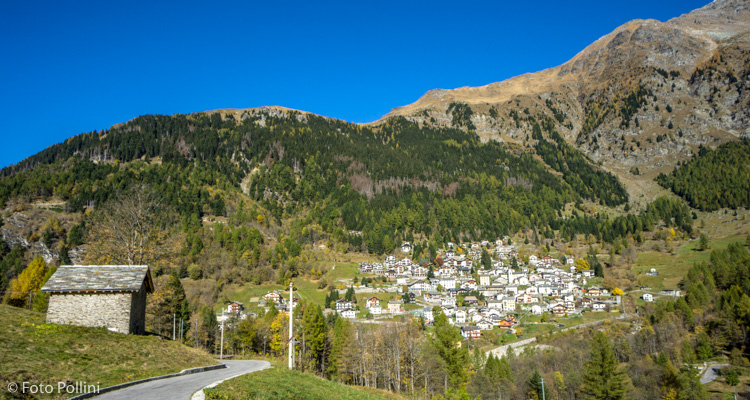
Campodolcino, Fraciscio, Mottala, Gualdera, La Palu, Avert di Bondeno di Dentro, Avert di Bondeno di Fuori - ritorno a Campodolcino
- Starting point: Campodolcino (1070)
- Ending point: Bondeno di Fuori (1670)
- Max. altitude: 1650 m s.l.m.
- Ascent: 630 m
- Descent: 630 m
- Total climbing: 6.6 km
- Total descending: 6.6 km
- Total distance on flat: 0 km
- Lenght: 13.2 km
- Duration: 2 - 3 h
- Difficulty: Medium
- Average slope : 9%
- Max. slope: 20%
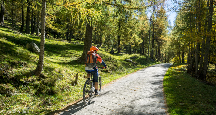
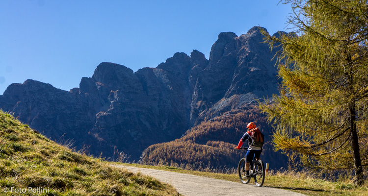
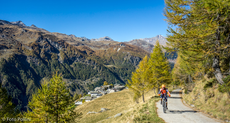
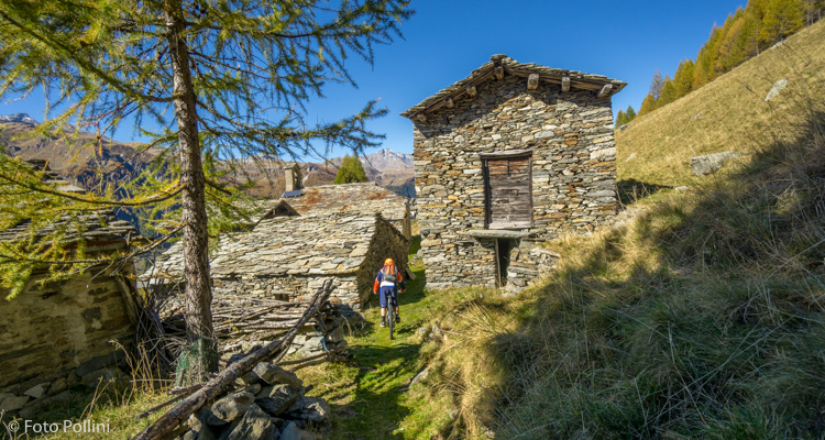
This is a short route. From Campodolcino, after a series of hairpins, you are suddenly in the valley of the River Rabbiosa. The right-hand fork takes you up to Fraciscio, turning left takes you on tarmac with feasible gradients to Gualdera. This becomes concrete from Gualdera to Bondeno with an increase in gradients that include a one-kilometre stretch at 15% and another shorter one at 20% that make medium/high pedal assist obligatory. Once in Bondeno di Fuori, after long stretches through the woods, you come out on a very scenic rise overlooking the lower and upper Val Spluga. Then downhill turning left on a barely marked road that soon becomes a trail, going through characteristic villages of Bondeno di Mezzo and di Dentro. Here you pick up the outward route.
Testi e dati tecnici a cura di Federico Pollini