placeholder EN


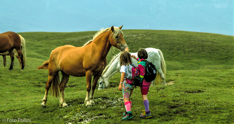
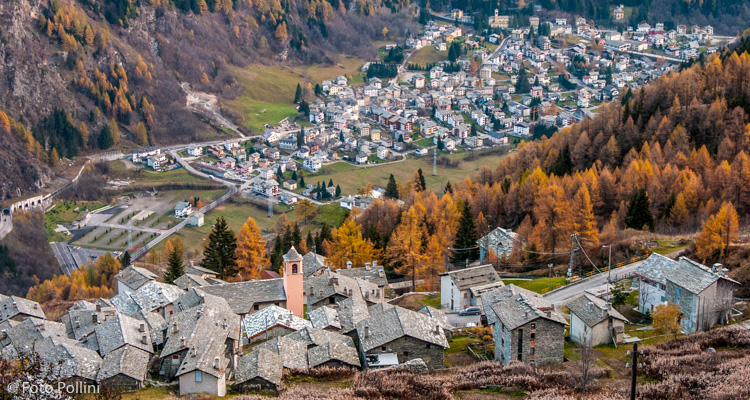
Valchiavenna
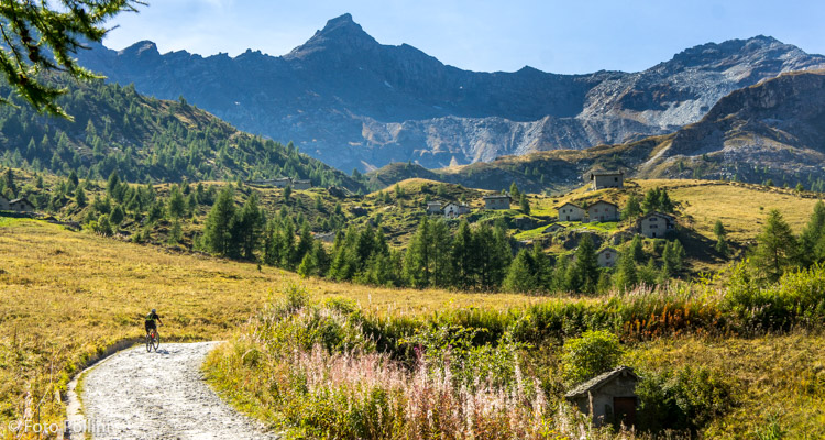
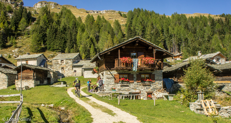
E-bike - Campodolcino, Valle di San Sisto
Campodolcino, Splughetta, Starleggia, San Sisto - ritorno a Campodolcino
- Starting point: Campodolcino (1070)
- Ending point: San Sisto (1775)
- Max. altitude: 1775 m s.l.m.
- Ascent: 705 m
- Descent: 705 m
- Total climbing: 9.3 km
- Total descending: 9.3 km
- Total distance on flat: 0 km
- Lenght: 18.6 km
- Duration: 2 - 3 h
- Difficulty: Easy
- Average slope : 8%
- Max. slope: 11%
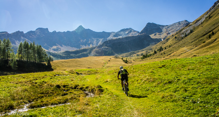
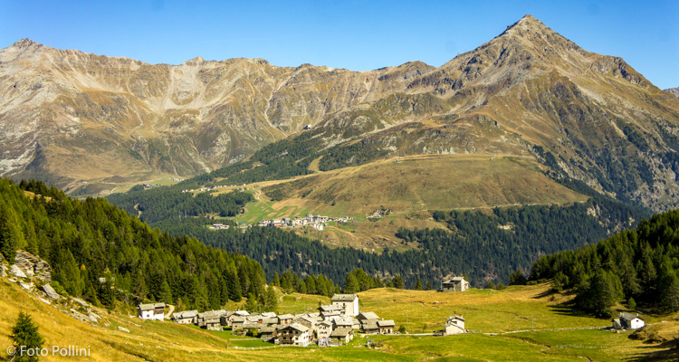
From Campodolcino, the route follows a winding tarmacked road to the town of Starleggia. This is followed by a rough track, still with easy gradients, leading to the splendid, wide valley of San Sisto and the town of the same name. The natural amphitheatre is dominated to the west by Pizzo Quadro and to the east a natural balcony opens out over the upper Val Spluga, and in particular over Alpe Motta and Pizzo Groppera. After San Sisto, you can continue pedalling towards the inner part of the valley, but only on trails, coming first to Alpe Cusone with a holiday farmhouse and then to the villages of Fornal and Alpe Morone.
Testi e dati tecnici a cura di Federico Pollini