placeholder EN


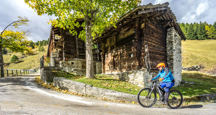
Valchiavenna
E-bike - Isola, Borghetto
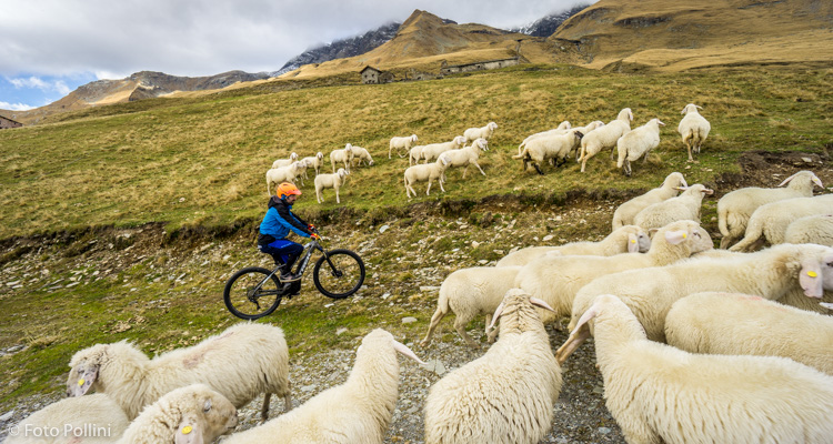
Isola, Mottaletta, Canto, Case Raseri, Stabisotto, Avert Marci, Avert dei Piani, Borghetto - ritorno a Isola
- Starting point: Isolaccia Valdidentro (1250)
- Ending point: Borghetto (1905)
- Max. altitude: 2100 m s.l.m.
- Ascent: 1200 m
- Descent: 1200 m
- Total climbing: 11.3 km
- Total descending: 11.3 km
- Total distance on flat: 0 km
- Lenght: 22.6 km
- Duration: 3 - 4 h
- Difficulty: Hard
- Average slope : 10%
- Max. slope: 18%
This long, difficult route has steep climbs and a big difference in altitude, calling for frequent use of medium/high pedal assist. From Avert Piani, you drop 200 metres to Borghetto (check you have enough battery to get you back up on your return).The tarmacked road stretches from Isola to Stabisotto, then it becomes a rough but fairly compact track through the wood. You come out in the pastures over 1800 metres asl, with lots of hairpins and on a rougher track. This is followed by a long diagonal stretch (up over 2000 metres asl), passing through Avert Piani and winding steeply through the meadows. The road then suddenly bends to the south and drops quickly down to the mountain chalets or baite in Borghetto. There are alternative shorter routes at the start: turning left just after Cà Raseri will take you to Val Febbraro or to the Frondaglio area.
Testi e dati tecnici a cura di Federico Pollini