placeholder EN


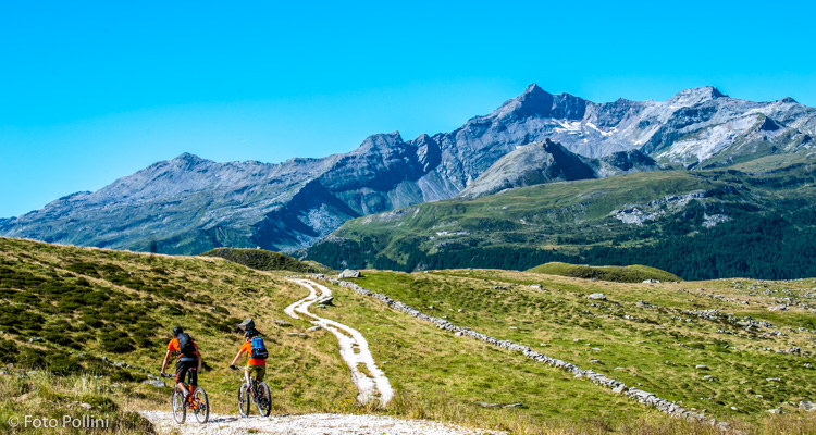
Valchiavenna
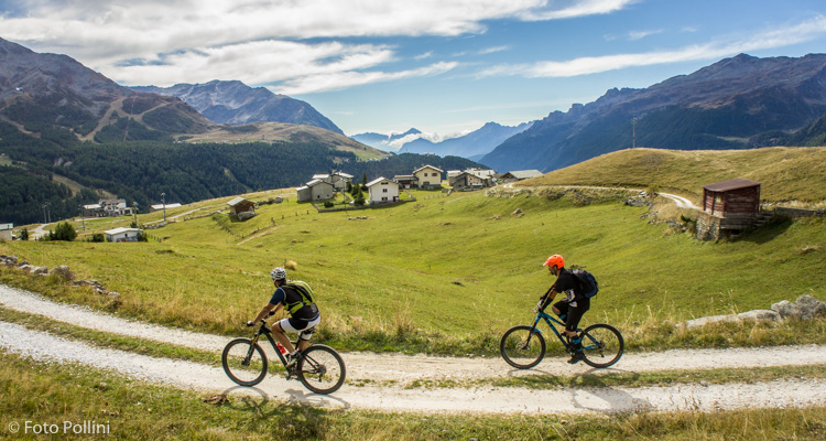
E-bike - Madesimo, Andossi, Lago Montespluga
Madesimo, Casone, Cà Vecchia, Boc, San Rocco, Andossi, Lago degli Andossi, Lago di Montespluga, Stuetta, Andossi, Madesimo
- Starting point: Madesimo (1550)
- Ending point: Andossi (2060)
- Max. altitude: 2060 m s.l.m.
- Ascent: 570 m
- Descent: 570 m
- Total climbing: 10.4 km
- Total descending: 9.6 km
- Total distance on flat: 0 km
- Lenght: 20 km
- Duration: 2 - 3 h
- Difficulty: Medium
- Average slope : 6%
- Max. slope: 14%
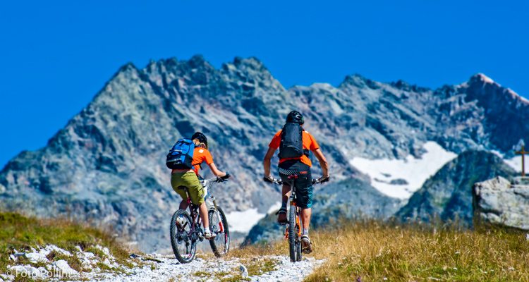
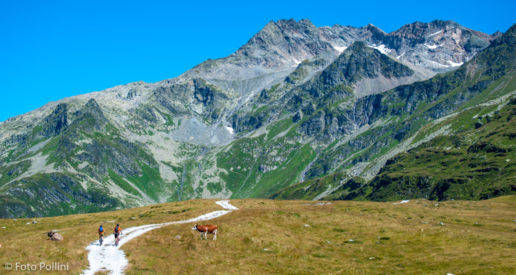
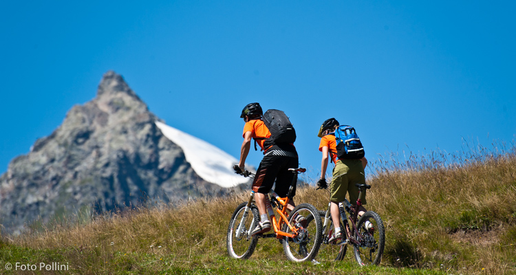
This very scenic circular route winds along rough gravel tracks in the high part of the Andossi. Its unique views take in all the most important mountain peaks in the valley: Groppera, Emet, Suretta, Tambò, Ferrè and Quadro. Stretches with gradients of 10 to 15% make medium/high pedal assist necessary. The real climb starts after the last houses in Madesimo with a difficult concrete road. Once up on the Andossi, turn right for some more steep bits until you come out above a small lake. From here, you drop quickly down to state road 36 around Lake Montespluga through to the first hairpin under the dam. Left here and an obligatory short climb takes you back onto your outward route to Madesimo.
Testi e dati tecnici a cura di Federico Pollini