placeholder EN


Alta Valtellina
E-bike - Arnoga, Passo Verva, Grosio
Arnoga in Valdidentro, Alpe Campo, Verva Bassa, Alpe Verva, Passo di Verva, Eita, Fusino, Grosio
- Starting point: Arnoga Valdidentro (1880)
- Ending point: Grosio (656)
- Max. altitude: 2300 m s.l.m.
- Ascent: 520 m
- Descent: 1760 m
- Total climbing: 7 km
- Total descending: 19.8 km
- Total distance on flat: 0 km
- Lenght: 26.8 km
- Duration: 3 - 4 h
- Difficulty: Hard
- Average slope : 8%
- Max. slope: 15%
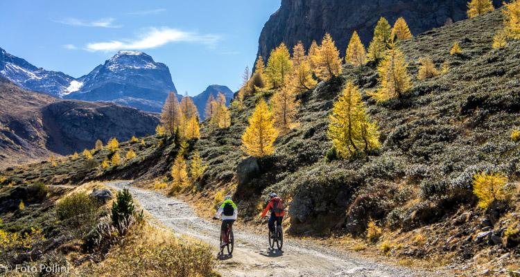
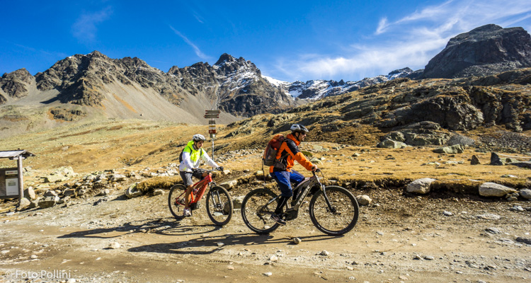
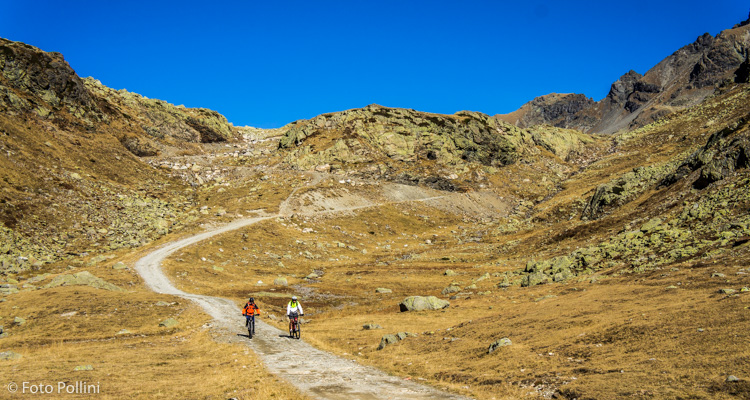
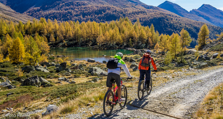
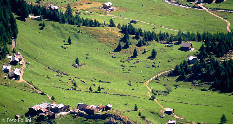
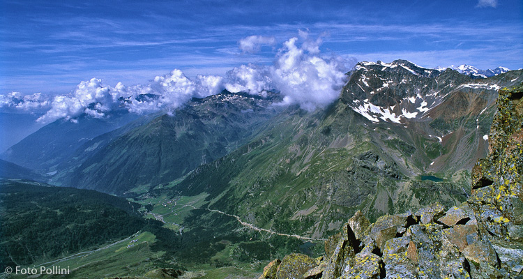
Historically, Val Verva was a very important gateway to the County of Bormio from the lower Valtellina. Still today, its rough track gives bikers access from the upper valley to Val Grosina without entering Switzerland. This route goes from Arnoga, in Valdidentro, to Grosio and if transport logistics are a problem, you can pedal back along the busy state roads (risking running out of battery however!). The terrain on this climb is compact, with a regular medium gradient, apart from the initial steep part, at the entrance to Val Verva. It goes through wild scenery, dominated by the southern foothills of Cima Piazzi, Sasso Maurigno on the left and Pizzo Dosdè on the right. On the way down you go past the nice little lake Acque Sparse and reach Val Grosina at Eita, on a rougher track. The long final stretch is described in route no. 68.
Testi e dati tecnici a cura di Federico Pollini
.jpg)