placeholder EN


Alta Valtellina
Bormio, Passo Stelvio, Forcola, Pedenolo
Bormio, Passo Stelvio, Rifugio Garibaldi, Passo Umbrail o Giogo di Santa Maria, Bocchetta di Forcola, Bocchetta di Pedenoletto, Malga Pedenolo, Alpe Solena, Bosco Piano, Statale dello Stelvio, Bormio
- Starting point: Bormio (1225)
- Ending point: Passo Stelvio (2758)
- Max. altitude: 2843 m s.l.m.
- Ascent: 2150 m
- Descent: 2150 m
- Total climbing: 28.5 km
- Total descending: 21.8 km
- Total distance on flat: 0 km
- Lenght: 50.3 km
- Duration: 6 - 7 h
- Difficulty: Very hard
- Average slope : 7%
- Max. slope: 15%
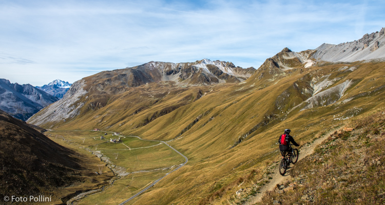
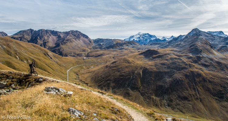
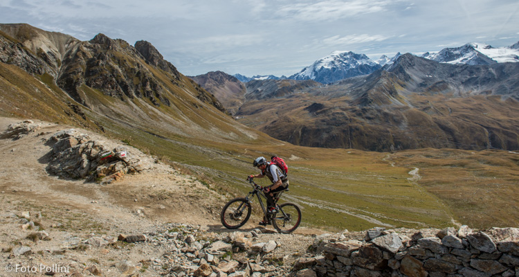
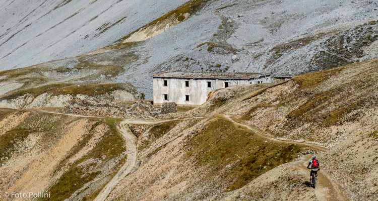
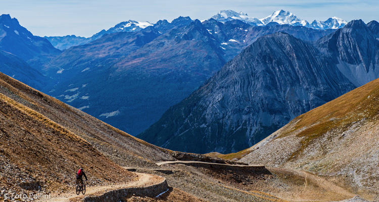
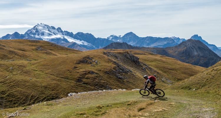
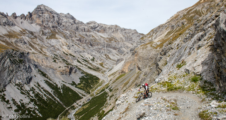
This is an itinerary rich in history and nature and affording lunar landscapes. A theatre of battles during the First World War, the surrounding mountains still preserve the entrenchments and military emplacements nearby the pastures full of flowers and perfumed herbs and the Ortles glaciers. The descent is a concentrate of all the best a biker can ever desire: “single trail” at first and military road with regular sloping, then technical trail and again steep gravel dirt road. From Piani di Pedenolo and accompanied by the sight of Cima Piazzi and the Bernina group, you descend along the formerly traced roads built for the downhill transport of the iron ore, which used to be mined from these mountains.
Testi e dati tecnici a cura di Federico Pollini