placeholder EN


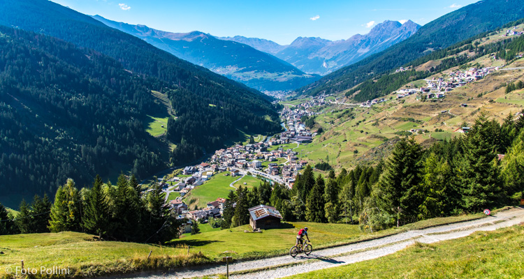
Alta Valtellina
E-bike - Bormio, Reit, Sant’Antonio Valfurva
Bormio, parcheggio Pravasivo, Bosco della Reit, Val d’Uzza, Canareglia, strada militare dell’Ables , Plazzanecco, Fantelle, bivio inizio Val Zebrù, Pradaccio, San Gottardo, Sant’Antonio Valfurva, Bormio
- Starting point: Bormio (1225)
- Ending point: Plazzanecco Valfurva (1730)
- Max. altitude: 1730 m s.l.m.
- Ascent: 820 m
- Descent: 820 m
- Total climbing: 10.4 km
- Total descending: 11 km
- Total distance on flat: 0 km
- Lenght: 21.4 km
- Duration: 2 - 3 h
- Difficulty: Medium
- Average slope : 8%
- Max. slope: 16%
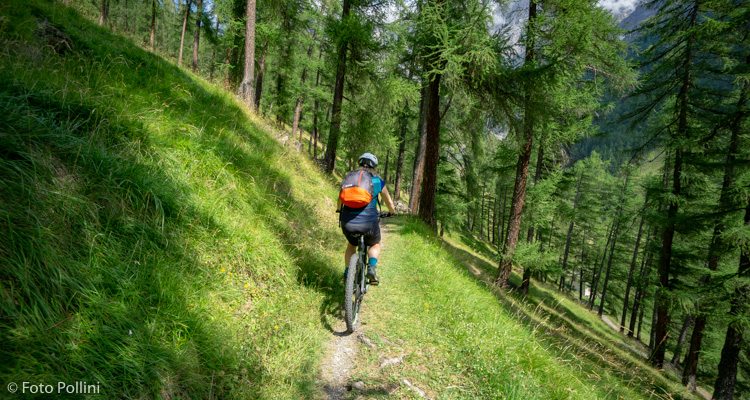
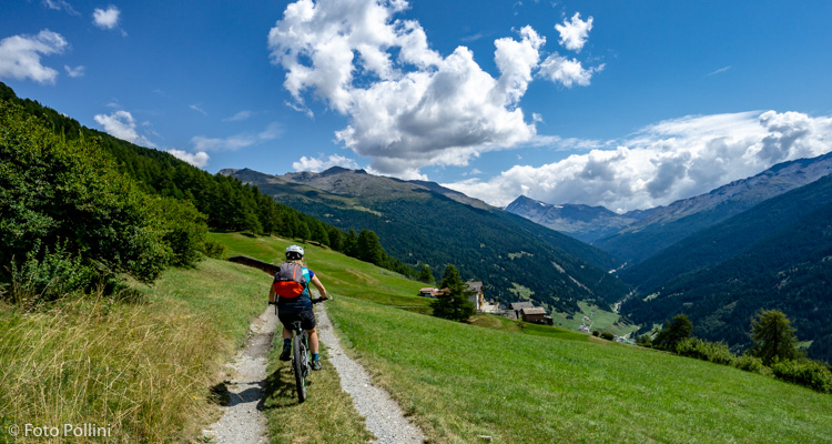
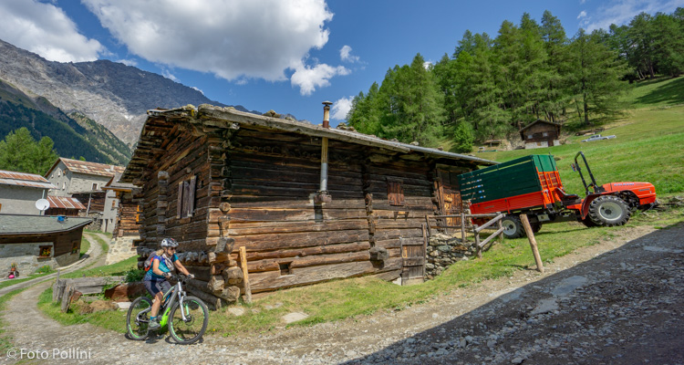
This high mountain route from Bormio to Valfurva can be considered one of the most beautiful in this area. After the initial stretch on tarmacked state road 38, a rough track leads up from the foot of the mountain, almost levelling out through the thick larch wood above the hollow in Bormio. After crossing the Uzza Valley, the route follows the first part of the Ables military track. After a few hairpin bends and a right-hand turn, it continues past the villages of Madonna dei Monti through to the outskirts of Val Zebrù, and then on to the valley bottom along a fast rough track. No excessive steep bits apart from a few exceptions: there are some stretches in Val d’Uzza and a couple of forks that you mustn’t miss in the middle.
Testi e dati tecnici a cura di Federico Pollini