placeholder EN


Alta Valtellina
E-bike - Isolaccia, decauville, Cancano
Isolaccia Valdidentro, Pedenosso, Sant’Antonio di Scianno, decauville, Torri di Fraele, Cancano, Pedenosso, Isolaccia Valdidentro
- Starting point: Isolaccia Valdidentro (1330)
- Ending point: Cancano (1950)
- Max. altitude: 1950 m s.l.m.
- Ascent: 700 m
- Descent: 700 m
- Total climbing: 10.6 km
- Total descending: 10.7 km
- Total distance on flat: 1.7 km
- Lenght: 23 km
- Duration: 2 - 3 h
- Difficulty: Medium
- Average slope : 7%
- Max. slope: 15%
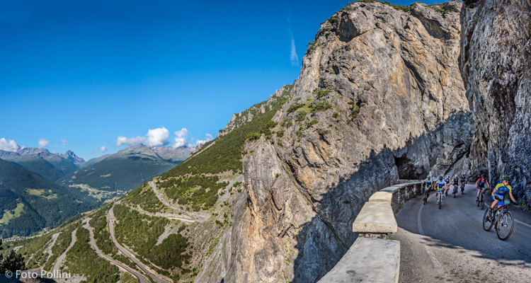
Entirely within the municipality of Valdidentro this too leads to the Cancano dams. This climb is more direct than route 79, a constant but not excessive gradient at the beginning on tarmac followed by steep hairpins with a gradient of more than 15%, through to the “decauville” foot trail.
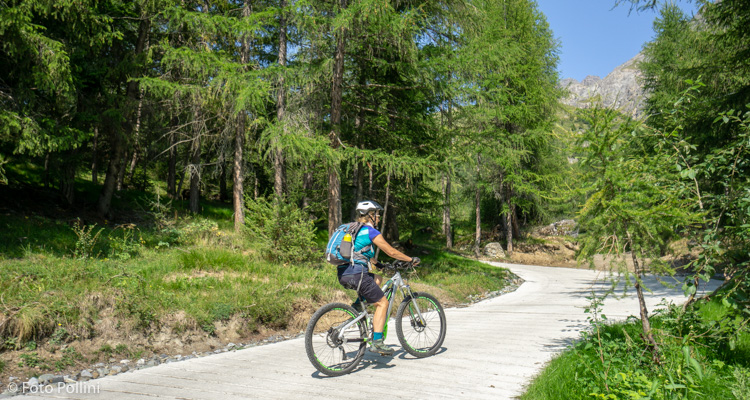
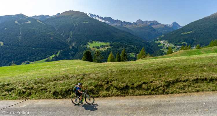
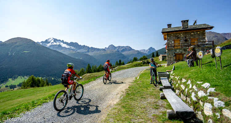
From Isolaccia up to Pedenosso and then westwards on a long diagonal stretch that passes through villages high up on the slope, to the Sant'Antonio car park in Scianno. From here, a steep rough track with concrete patches goes up and over the “decauville”, leading first to Torri di Fraele and then to the Cancano lakes. Then downhill and all the classic hairpin bends, past the picnic area and, turning second right a little further on, back to Pedenosso. Below the church, a steep downhill stretch leads to the plain in Pecè and then to Isolaccia.
Testi e dati tecnici a cura di Federico Pollini