placeholder EN


Morbegno Bassa Valle
E-bike - Sirta/Forcola, Val Lunga di Tartano
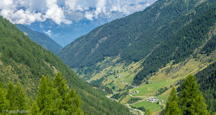
Sirta-Forcola, strada provinciale n° 11 per Val Tartano, Campo, Tartano, Val Lunga, Piana, Pila, Le Tegge, Fienili di Arale - ritorno a Sirta-Forcola
- Starting point: Sirta-Forcola (270)
- Ending point: Fienili Arale Valtartano (1495)
- Max. altitude: 1495 m s.l.m.
- Ascent: 1225 m
- Descent: 1225 m
- Total climbing: 18.7 km
- Total descending: 18.7 km
- Total distance on flat: 0 km
- Lenght: 41.4 km
- Duration: 3 - 4 h
- Difficulty: Medium
- Average slope : 6%
- Max. slope: 9%
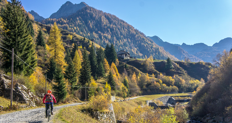
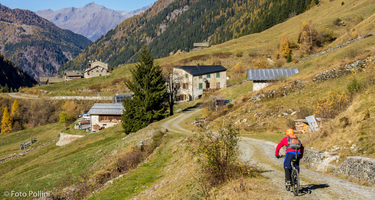
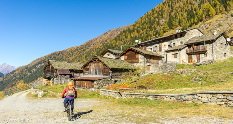
This is a long route with a fairly big difference in altitude, but with feasible gradients that never exceed 10%, possible also with low pedal assist. In order to avoid the traffic on state road 38, set out from the small town of Sirta (Forcola) and continue along the Pedemontana Orobica. After a little more than a kilometre and a half, a left turn sees the start of hairpins that wind up and through Campo Tartano and then Tartano. From here, you enter Val Lunga, again on tarmac to a tunnel built to stop landslides. The last part of rough track takes you to Fienili di Arale and two mountain refuges: Beniamino and Rifugio Pirata.
From Arale you can follow a rough track that, higher than the previous one and not connected to it, lets you visit the characteristic hamlets of Tecce, S.Antonio, Dosso dei Principi and Basisc.
Testi e dati tecnici a cura di Federico Pollini