placeholder EN


Sondrio Valmalenco
E-bike - Montagna, Alpe Mara
Montagna, Farina, S.Maria Perlungo, Scessa, Oniscio, Alpe Arcinio, Mara, Alpe Mara, Rifugio Gugiatti-Sertorelli - ritorno a Montagna
- Starting point: Montagna al Piano parcheggio vicino a chiesa (580)
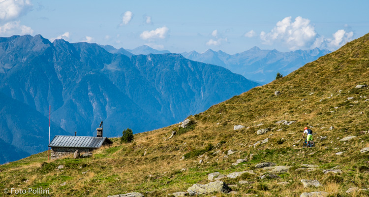
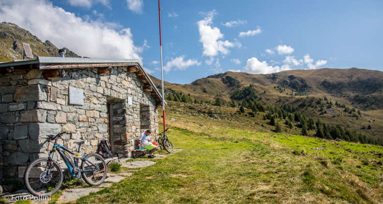
- Ending point: Rifugio Gugiatti-Sertorelli (2130)
- Max. altitude: 2130 m s.l.m.
- Ascent: 1550 m
- Descent: 1550 m
- Total climbing: 15.4 km
- Total descending: 15.4 km
- Total distance on flat: 0 km
- Lenght: 30.8 km
- Duration: 4 - 5 h
- Difficulty: Hard
- Average slope : 10%
- Max. slope: 24%
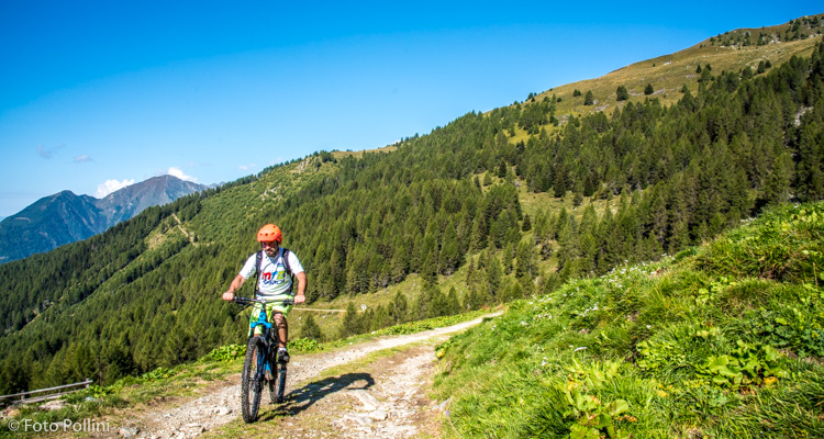
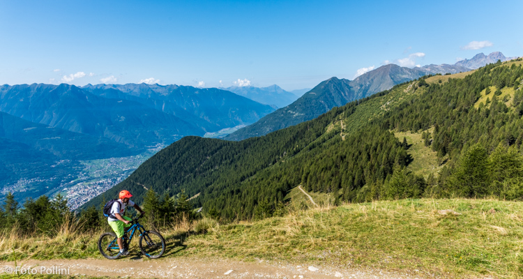
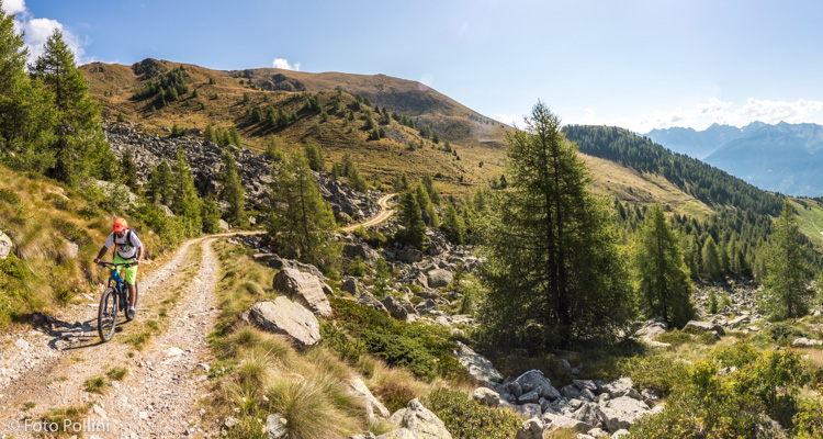
Overall difference in altitude, length, type of terrain, average and maximum gradient all combine to make this route difficult and complicated. If you are not very fit, you will be forced to often use medium/high pedal assist, quickly consuming energy and meaning that one battery will likely not be enough. The road is tarmacked to just after Scessa, at about 1300 metres asl. After this it continues over loose stony terrain, up hairpin bends into the woods to the small car park in Mara as you come out of the trees. From here the gradient rises sharply with concrete ramps at the Mara barracks and even looser terrain for stretches until the last crossing that brings you to the Rifugio Gugiatti-Sertorelli. Your efforts will be repaid by amazing views of the valley, the Orobic mountain range to the south and Monte Disgrazia to the west.
Testi e dati tecnici a cura di Federico Pollini