placeholder EN


Sondrio Valmalenco
E-bike - Castello Dell'Acqua, Piazzola
Castello Dell’Acqua-Cavallari Centro Sportivo, Sentiero Valtellina, Baghetto, P.Roma, Piazzola, I Prati, Annunziata, La Pila di Cortivo, La Fucina, Castello Dell’Acqua-Cavallari Centro Sportivo
- Starting point: Castello dell’Acqua (370)
- Ending point: Alpe Piazzola (1200)
- Max. altitude: 0 m s.l.m.
- Ascent: 830 m
- Descent: 830 m
- Total climbing: 10.6 km
- Total descending: 10.6 km
- Total distance on flat: 4 km
- Lenght: 25.2 km
- Duration: 2 - 3 h
- Difficulty: Easy
- Average slope : 6%
- Max. slope: 12%
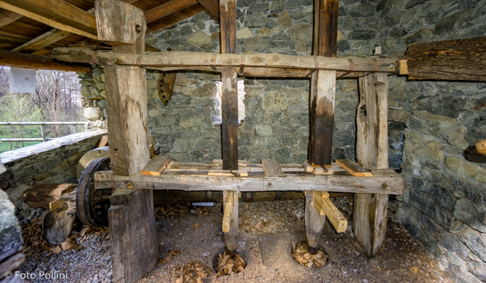
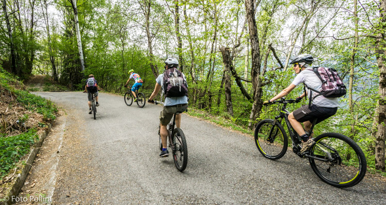
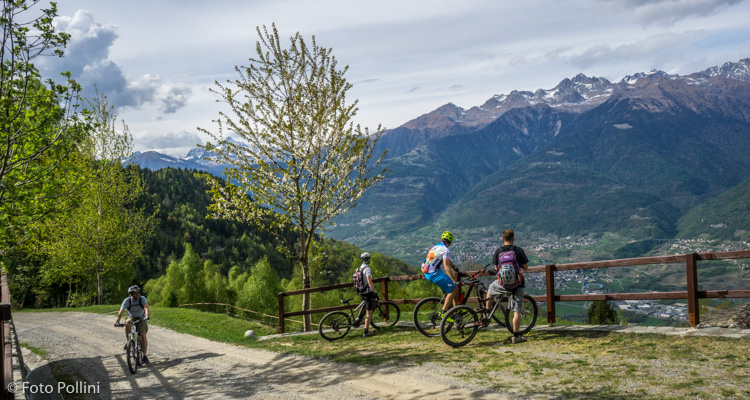
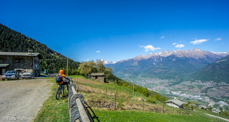
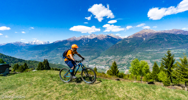
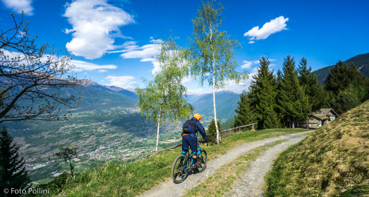
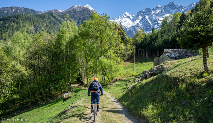
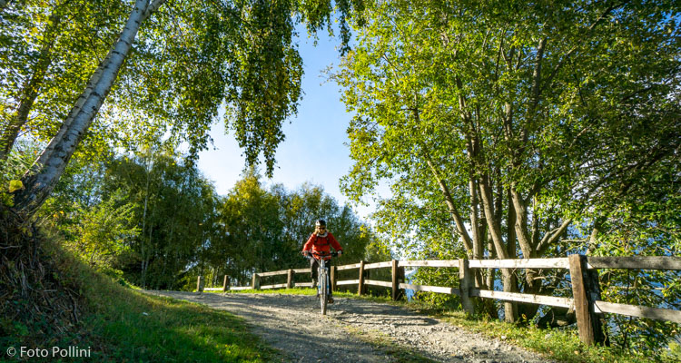
This route is not particularly difficult, as its length, difference in altitude and gradients are feasible. It starts in the car park near the new sports centre in Castello dell’Acqua and follows the Sentiero Valtellina westwards to Ponte del Bahetto (Chiuro). From here you begin to climb on tarmac to the municipal square. Still on tarmac, you continue through several hamlets nestling among the chestnut woods. The last part over compact rough terrain brings you to the mountain chalets at Alpe Piazzola (holiday farmhouse), a large rise offering splendid views of middle Valtellina. The downhill route is different from the uphill one, and two short detours let you visit a watermill with horizontal blades, a "pila", the ancient machine used for hulling chestnuts and cereals and an old blacksmith’s forge.
Testi e dati tecnici a cura di Federico Pollini