placeholder EN


Tirano Media Valle
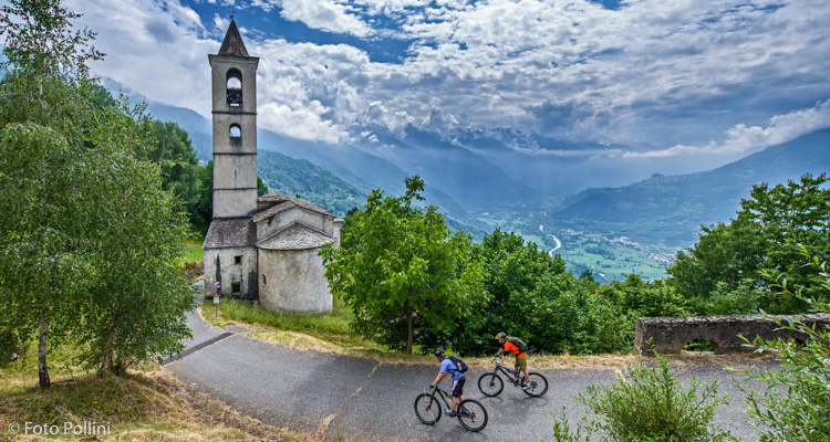
E-bike - Tirano, Trivigno, Canali
Tirano, Cologna, Cabrella, Trivigno, Roccolo Pinchetti, Piscina, Canali, Cologna, Tirano
- Starting point: Tirano (440)
- Ending point: Trivigno (1600)
- Max. altitude: 1600 m s.l.m.
- Ascent: 1240 m
- Descent: 1240 m
- Total climbing: 15.2 km
- Total descending: 15 km
- Total distance on flat: 0 km
- Lenght: 30.2 km
- Duration: 2 - 3 h
- Difficulty: Easy
- Average slope : 8%
- Max. slope: 12%
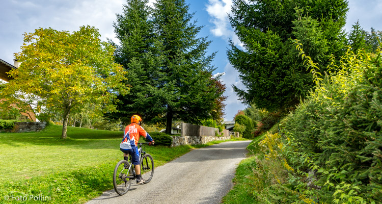
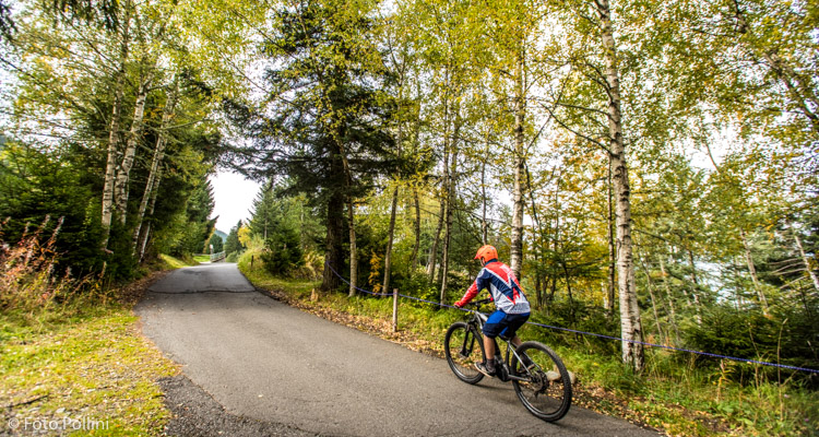
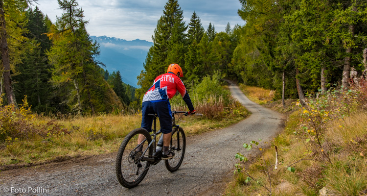
The itinerary is all on tarmacked road and has a medium accessible gradient with stretches that only slightly exceed 10%. It starts from Tirano, along state road 38 towards Bormio. Coming out of the town, turn right at the fork, following signs for Cologna and Trivigno, and continue up the constant slope, initially through apple orchards and then through some lovely woods. After about 11 kilometres and a good few bends, there is another turning to the right for Trivigno, which you will come to after a long stretch through the group of mountain chalets or baite in Cabrella. Follow the road down to San Rocco, a small village that can be visited by taking a short detour to the left. The route continues to the right with a long stretch that goes through Piscina, Canali and close to Forte Sertoli and then joins up with the uphill route.
Testi e dati tecnici a cura di Federico Pollini