placeholder EN


Tirano Media Valle
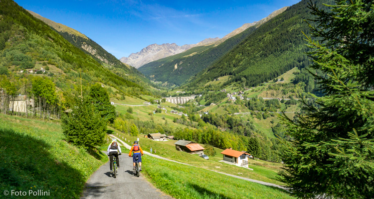
E-bike - Fusine Valgrosina, Malghera, Supiani
Fusino in Valgrosina, Val di Sacco, Pier, Ortesedo, Campo Pedruna, Alpe Malghera, Grasso Pedruna, Alpe Guinzana, Alpe Piana, Carette, Dovere, Supiani, Pier Val di Sacco, Fusino
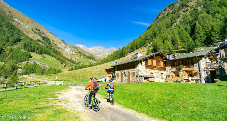
- Starting point: Fusino (1200)
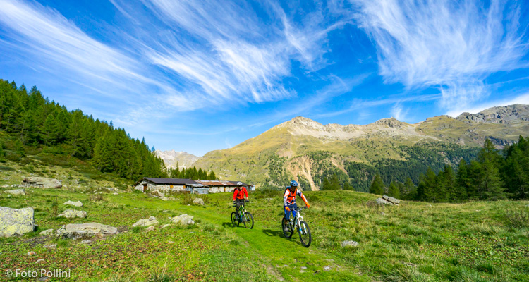
- Ending point: Malghera (1980)
- Max. altitude: 0 m s.l.m.
- Ascent: 1100 m
- Descent: 1100 m
- Total climbing: 17 km
- Total descending: 16 km
- Total distance on flat: 0 km
- Lenght: 33 km
- Duration: 4 - 5 h
- Difficulty: Hard
- Average slope : 8%
- Max. slope: 20%
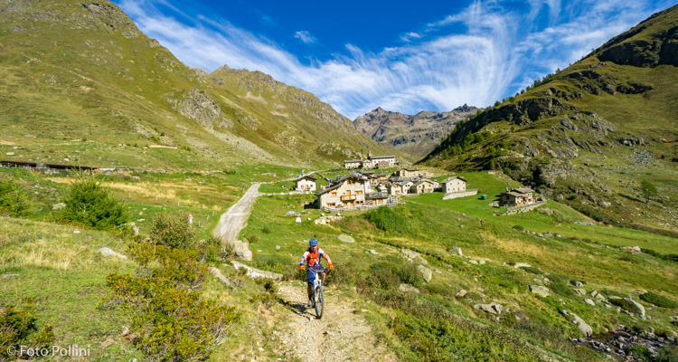
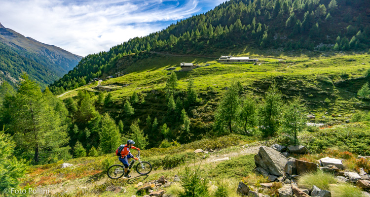
The tiring uphill tarmacked stretch in Val di Sacco is the most difficult part of this circular route in Valgrosina. Some bits are very steep and call for medium pedal assist. The long pedal along the valley bottom takes you through unspoilt, well-preserved mountain scenery. The final climb takes you to Alpe Malghera, nestling on a wide plain that is home to a good many baite or mountain chalets and the majestic shrine. The return trip starts up here, following a path for about 1.5 kilometres. The next part on a rough track coincides with the Sentiero Italia trail and takes you through woods and the mountain meadows of Pedruna, Guinzana, and Piana before coming to the little church of Supiani. From here, a rough track on the left soon becomes a trail that brings you back to Val di Sacco, to the village of Pier and then back to Fusino.
Testi e dati tecnici a cura di Federico Pollini