placeholder EN


Valchiavenna
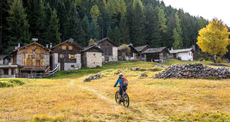
E-bike - Villa Chiavenna, Pian Cantone, Lago
Villa di Chiavenna, San Barnaba, Canete, Monte Rotondo, Castano, Sciovatto, Monte Genova, Pian Cantone - Scalotta, Monte del Lago-I Laghetti, Campaccio, Bondea, Villa di Chiavenna
- Starting point: Villa di Chiavenna (633)
- Ending point: Pian Cantone (1313)
- Max. altitude: 1313 m s.l.m.
- Ascent: 1100 m
- Descent: 1100 m
- Total climbing: 11.8 km
- Total descending: 12.4 km
- Total distance on flat: 0 km
- Lenght: 24.2 km
- Duration: 3 - 4 h
- Difficulty: Medium
- Average slope : 9%
- Max. slope: 15%
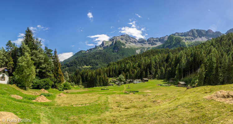
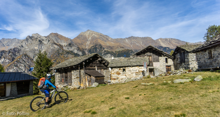
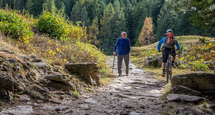
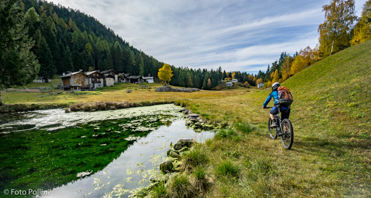
There are countless mountains and roads above Villa di Chiavenna. Here we suggest a double route leading to two different plains. Mainly tarmacked, some stretches have a steep gradient which may call for use of medium pedal assist. You start in Villa and, after following the banks of the lake towards Switzerland, you then turn right and begin climbing on tarmac, through the villages of S. Barnaba and Canete. After a long series of hairpins, turn right at the second fork through to the natural plain of Pian Cantone (first route). Then back to the previous fork and up and two right turns to the characteristic “Ripiano dei Laghetti”, plain of the Lakes (Monte del Lago - second route). Once back at the fork from before, you start the downward part to the right on a rough track that goes through Bondea and closes the circular route near the lake in Villa.
Testi e dati tecnici a cura di Federico Pollini